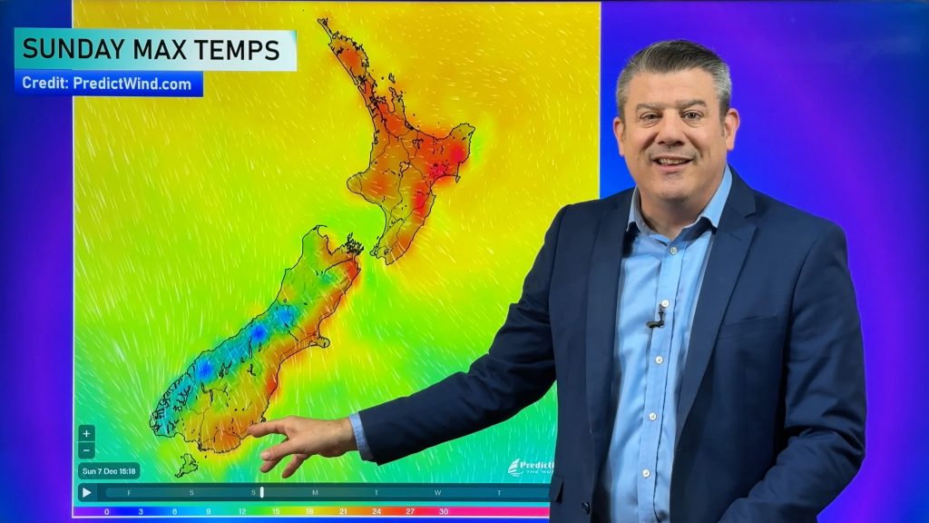
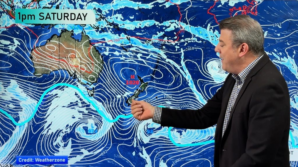
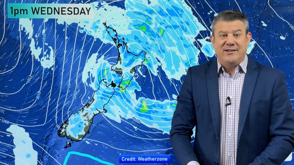
InfoGraphic: The main Weather News Highlights across NZ: Thu, Fri, Sat
30/03/2017 2:15am

> From the WeatherWatch archives
A ridge for the upper North Island today, a low slowly moves away to the east from the lower North Island meanwhile a gentle northwesterly airflow gradually develops over the south. A ridge for most of New Zealand on Friday while ex tropical cyclone Debbie moves into the Tasman Sea. A northerly airflow on Saturday while a weakening low sits in the Tasman Sea.
Thursday
Blue – Rain overnight or perhaps more towards dawn on Friday may be heavy about southern Fiordland and Stewart Island.
Yellow – Afternoon high’s reaching into the mid 20’s for the areas marked in yellow below.
A chance of morning fog about the east coast of the South Island, also Wellington. Fog about Wellington should finally break / lift towards midday.
Friday
Blue – Some heavy rain may affect coastal Southland and Stewart Island during the day.
Yellow – High’s comfortably reaching into the mid 20’s for the areas marked below.
Watch for a chance of morning fog about the Waikato.
Saturday
Blue – Some rain about Fiordland during the day, only bordering on heavy, perhaps more just persistent.
Yellow – Afternoon high’s reaching into the mid 20’s for parts of the North Island.
A chance of morning fog once again about the Waikato, Central North Island and perhaps Auckland.

– Aaron Wilkinson, WeatherWatch.co.nz
Comments
Before you add a new comment, take note this story was published on 30 Mar 2017.


Add new comment