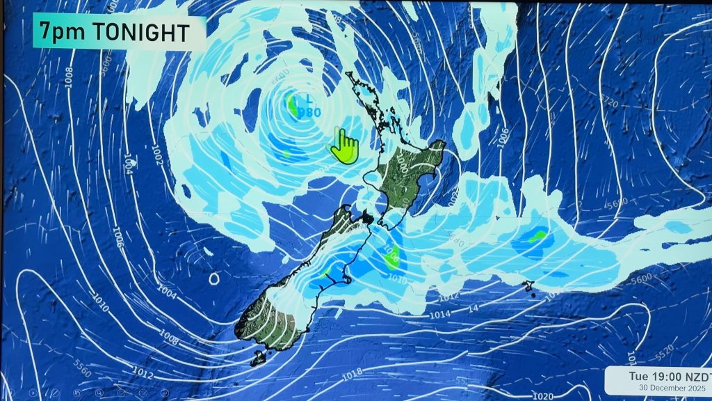
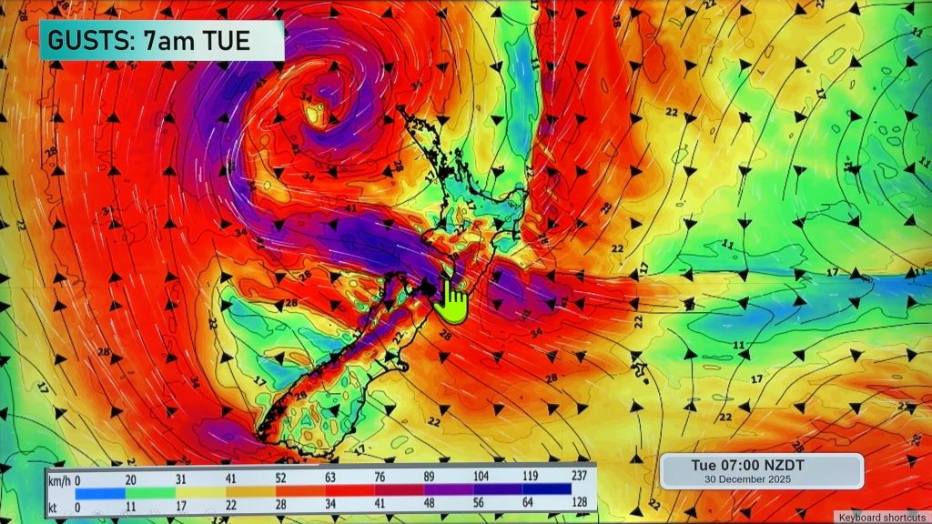
InfoGraphic: The Main Weather News Highlights across NZ: Thu, Fri, Sat
16/08/2017 7:00pm

> From the WeatherWatch archives
A front moves over the North Island from this morning then pushes northwards, it will gradually weaken. Strong pre-frontal northerlies ease from afternoon. Northwesterlies over the South Island ease later in the day. A northwesterly airflow lies over the country on Friday. Saturday sees a low in the Tasman Sea streatching over New Zealand during the day.
Thursday
Blue – Heavy rain eases in the morning along the West Coast however from afternoon showers may become heavy again at times with a risk of thunderstorms.
Some heavy rain moves into the western North Island late morning then easing from the south during the evening.
Purple – Strong to gale northerlies about the upper South Island and lower North Island ease during the afternoon.
Gusty northwesterlies about the inner South Island ease in the evening.
Friday
Some rain may be heavy along the West Coast of the South Island in the morning however it will then ease.
In the afternoon there is the low risk of an isolated heavy shower about the Waikato then easing in the evening.
Saturday
Some heavy rain about Tasman during Saturday, easing in the evening. A front moving from west to east over the North Island during the day may bring a period of heavy rain then easing.

– Please note, the idea behind this update is to focus on the main weather highlights, which is why not all regions are mentioned.
For specific 10 day information for your city, town, rural community or island please see the 1500 forecasts on our homepage!
– Aaron Wilkinson, WeatherWatch.co.nz
Comments
Before you add a new comment, take note this story was published on 16 Aug 2017.


Add new comment