InfoGraphic: The Main Weather News Highlights across NZ: Mon, Tue, Wed
23/04/2017 7:00pm

> From the WeatherWatch archives
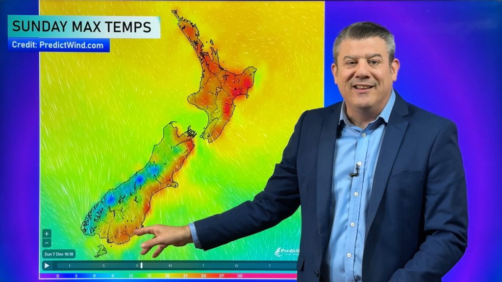
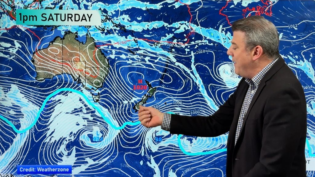
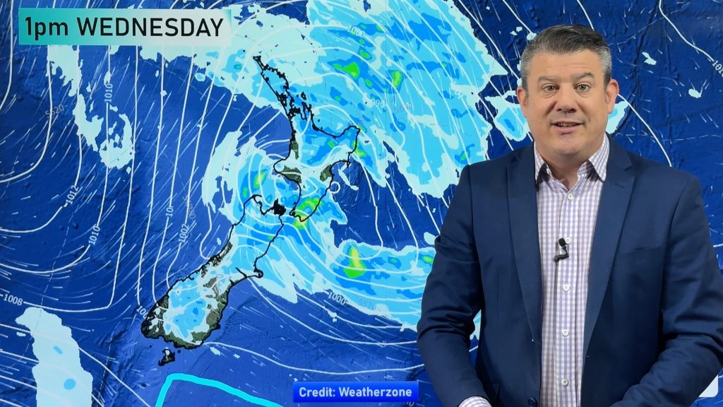
Weak anticyclonic conditions over New Zealand today bring mainly settled weather, meanwhile a big low sits off to the northeast of the North Island. An anticyclone covers much of the country on Tuesday then a northwesterly airflow builds in the south on Wednesday.
Monday
Blue – A cold start for inland parts of both islands, starting out around 1 to 3 degrees.
There may be some fog this morning for parts of Canterbury.
Tuesday
Blue – A cold start for inland parts of the South Island, starting out around 1 to 3 degrees in the blue shaded areas below.
Once again fog is possible for some eastern parts of the South Island in the morning.
Wednesday
Blue – A cold start for inland parts of the upper South Island and Central North Island, starting out around 1 to 3 degrees in the blue shaded areas below.
Once again fog is possible but this time for the eastern North Island in the morning.

– Please note, the idea behind this update is to focus on the main weather highlights, which is why not all regions are mentioned.
For specific 10 day information for your city, town, rural community or island please see the 1500 forecasts on our homepage!
– Aaron Wilkinson, WeatherWatch.co.nz
Comments
Before you add a new comment, take note this story was published on 23 Apr 2017.


Add new comment
mvgsmf on 23/04/2017 10:13pm
Hi Team,
I have a hike planned in Raglan this coming Saturday – do you have any early indication of what the elements may throw at us rain and windwise?
thanks and regards
Reply
WW Forecast Team on 23/04/2017 10:52pm
Hey there – keep an eye on our Raglan forecast (for % of rain each day) and use our rain/wind maps as well to help understand the front(s) that is/are coming in this weekend. Saturday looks like it could be wet while Sunday may be windier (and wet later also). Either way a bit of a messy forecast this weekend but will be dry weather too. Our Wednesday weather video will have more details too for also.
Cheers and good luck!
– WW Team
Reply