InfoGraphic: The Main Weather News Highlights across NZ: Mon, Tue, Wed
25/06/2017 7:00pm

> From the WeatherWatch archives
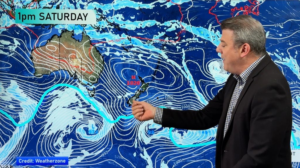
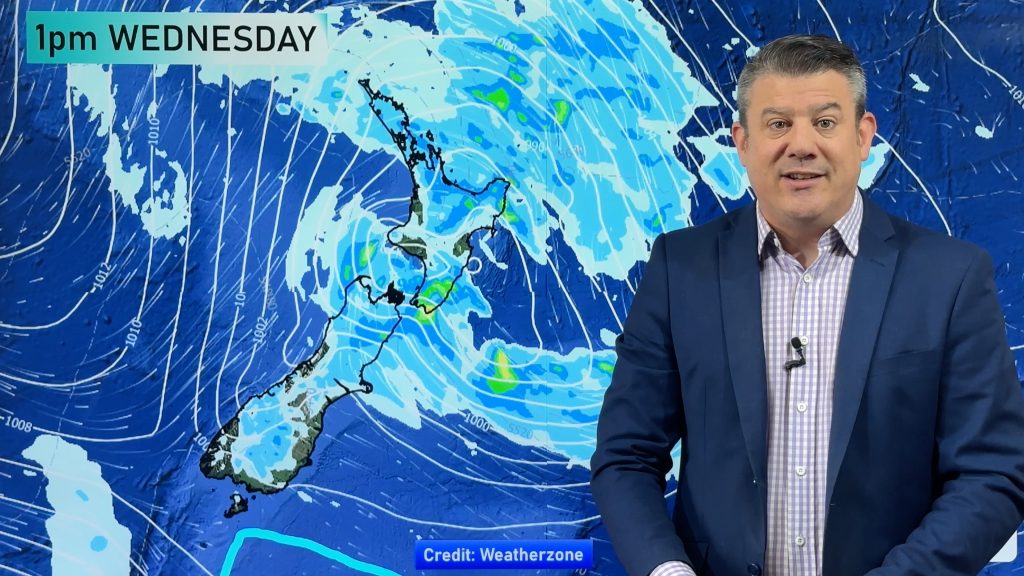
A southeasterly airflow eases over the North Island today while a northwesterly airflow gradually starts to build over the South Island, in between we see a ridge of high pressure. A front weakens over the lower South Island on Tuesday while weak high pressure sits elsewhere. High pressure for the South Island on Wednesday, an easterly airflow for the North.
Monday
Blue – A frosty start especially for the South Island this morning, temperatures may dip as low as -6 to -7 degrees celsius about some inland areas.
Purple – Northeasterlies becoming gusty about coastal Fiordland from afternoon.
Tuesday
Blue – Another frosty start inland for mainly the upper South Island and lower North Island, no major frosts this time around however temperatures may dip to -2 to -3 degrees celsius.
Wednesday
Blue – High pressure brings slightly more widespread frosts on Wednesday, lows may get down to -2 to -4 degrees about the inner South Island, 0 to -2 about the inner North Island.

– Please note, the idea behind this update is to focus on the main weather highlights, which is why not all regions are mentioned.
For specific 10 day information for your city, town, rural community or island please see the 1500 forecasts on our homepage!
– Aaron Wilkinson, WeatherWatch.co.nz
Comments
Before you add a new comment, take note this story was published on 25 Jun 2017.


Add new comment