InfoGraphic: The Main Weather News Highlights across NZ: Mon, Tue, Wed
4/06/2017 6:19pm

> From the WeatherWatch archives
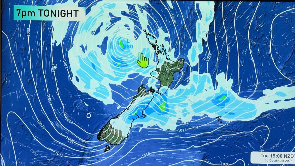
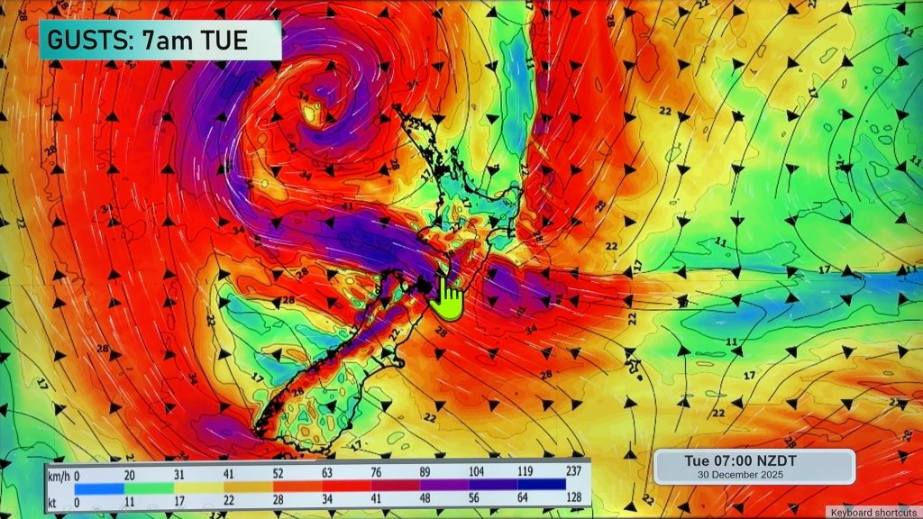
A front curls it’s way over the North Island today while the South Island sits under a ridge of high pressure. A low moves over the North Island on Tuesday while a ridge continues in the south. Generally anticyclonic on Wednesday however a southerly airflow freshens about the eastern North Island later in the day.
Monday
Blue – As a front moves over the North Island today it will bring showers, some of which may be heavy, perhaps even the chance of a thunderstorm then easing mid afternoon in the west and about the Bay Of Plenty later this evening.
A frosty start about inland parts of the South Island this morning, temperatures have reached -5 degrees celsius this morning about Tekapo.
Tuesday
Blue – Showers about the east of the North Island may be heavy in the morning then easing from afternoon.
Another frosty start about the inner South Island, lows around 0 to -3 for most although it may drop to -5 about isolated inland spots.
Wednesday
Blue – Overnight or perhaps more towards dawn on Thursday a freshening southerly airflow may bring a few heavy showers to the North Island’s east coast, mainly about northern Hawkes Bay / Gisborne.
A frosty start about the inner South Island, lows around 0 to -3 for most although it may drop to -5 about isolated inland spots.

– Please note, the idea behind this update is to focus on the main weather highlights, which is why not all regions are mentioned.
For specific 10 day information for your city, town, rural community or island please see the 1500 forecasts on our homepage!
– Aaron Wilkinson, WeatherWatch.co.nz
Comments
Before you add a new comment, take note this story was published on 4 Jun 2017.


Add new comment