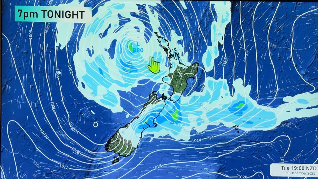
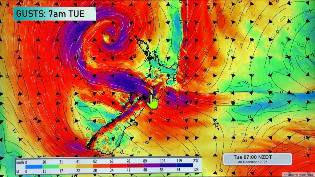
InfoGraphic: The Main Weather News Highlights across NZ: Mon, Tue, Wed
30/04/2017 7:00pm

> From the WeatherWatch archives
A ridge pushes onto the South Island this morning while strong southerlies ease during the day for the North Island. A ridge lies over the North Island on Tuesday while northwesterlies build in the south, a front moves onto the lower South Island overnight. A front pushes northwards over the South Island during Wednesday then over the North Island overnight.
Monday
Blue – Heavy rain about Gisborne eases by midday.
A frosty start about the inner South Island.
Purple – Strong southerlies about coastal parts of the North Island ease from afternoon.
Tuesday
Blue – Rain about South Westland becoming heavy overnight.
A cold start about inner parts of both Islands, sitting around 0 to -1 around dawn.
Purple – Northwesterlies becoming strong through Cook Strait overnight, winds may gust to gale at times. Brisk to strong northerlies about coastal Fiordland from afternoon.
Wednesday
Blue – Heavy rain for the West Coast of the South Island, easing from the south afternoon onwards.
Showers about Canterbury (mainly coastal) may be heavy for a time in the evening before easing overnight, a chance of small hail too.
Purple – Brisk to strong northwesterlies about inland Canterbury / Marlborough, easing from late afternoon. Strong northwesterly winds through Cook Strait ease overnight.

– Please note, the idea behind this update is to focus on the main weather highlights, which is why not all regions are mentioned.
For specific 10 day information for your city, town, rural community or island please see the 1500 forecasts on our homepage!
– Aaron Wilkinson, WeatherWatch.co.nz
Comments
Before you add a new comment, take note this story was published on 30 Apr 2017.


Add new comment