InfoGraphic: The Main Weather News Highlights across NZ: Fri, Sat, Sun
22/06/2017 6:48pm

> From the WeatherWatch archives
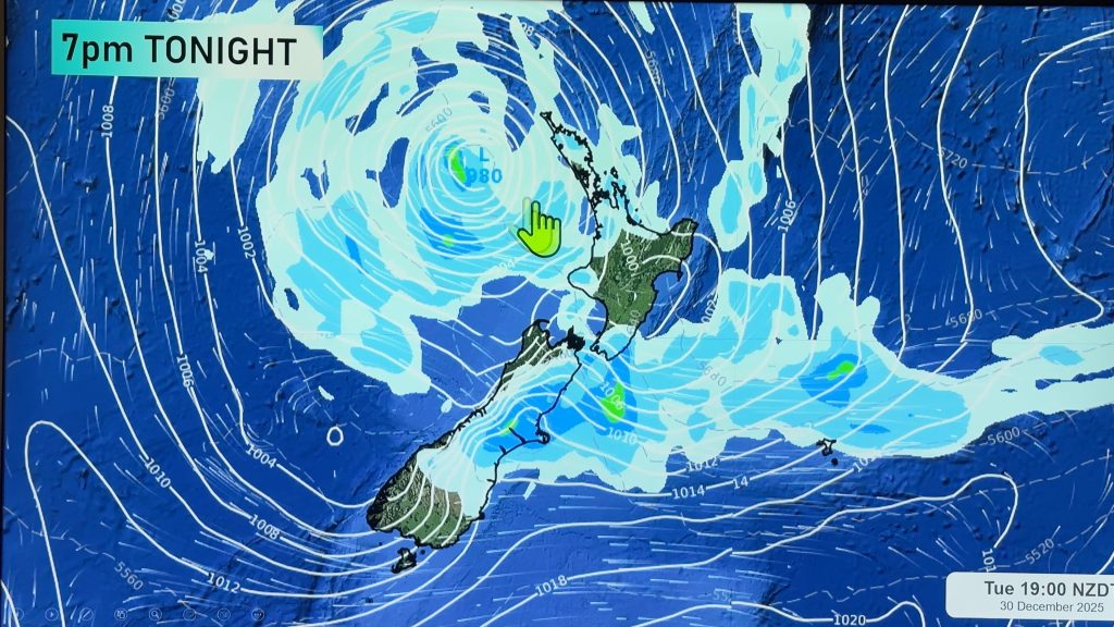
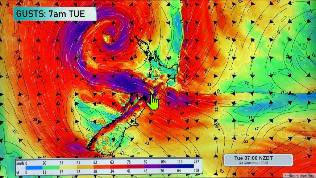
A low pressure system lies over the upper North Island today with an easterly quarter airflow over the country tending southwest later in the day or overnight. Cold southwesterlies for much of the country on Saturday, a front moves onto the lower South Island in the evening, this front moves northwards over the South and North Islands during Sunday.
Friday
Blue – About the upper North Island there is a mix of dry spells and shower today, some of those showers may turn into downpours especially this afternoon then easing this evening.
White – Snow flurries continue about the interior of the South Island for much of the day. However the levels will be higher. Falling to about 500m this morning about South Canterbury / North Otago, 800m for North Canterbury then gradually lifting during today.
Purple – Strong southeasterlies through Cook Strait tend more southerly at night. A strong southwesterly airflow develops about Northland overnight, southwesterlies may gust to gale at times in the west.
Saturday
Blue – Rain or showers may be heavy in the morning about western parts of the North Island, easing in the evening. Rain spreads into the east coast during the day, a chance showers may still be heavy at times however the risk is a little less. Easing overnight for all.
White – As a cold front moves onto Southland later in the evening, with it comes a risk of snow. This front moves into Otago overnight. Snow may fall to 400m, perhaps even 300m for a time however it doesn’t last long as the front clears the lower South Island around dawn on Sunday then moves into Canterbury.
Purple – A strong southwesterly airflow brings a risk of gales, especially about western and northern parts of the upper North Island. Easing later in the day.
Sunday
Blue – As a cold front clears early on Sunday morning about the lower South Island temperatures will plummet for a time before the sun manages to make any headway so look out for frosty conditions and potential black ice.
White – Snow develops about the ranges of Canterbury in the morning, clearing from the south afternoon onwards. Snow to 400m in the south, perhaps even 300m for a time. Snow falls to 500m about North Canterbury / Marlborough.

– Please note, the idea behind this update is to focus on the main weather highlights, which is why not all regions are mentioned.
For specific 10 day information for your city, town, rural community or island please see the 1500 forecasts on our homepage!
– Aaron Wilkinson, WeatherWatch.co.nz
Comments
Before you add a new comment, take note this story was published on 22 Jun 2017.


Add new comment