InfoGraphic: The main Weather News Highlights across NZ for next 3 days
31/01/2017 6:00pm

> From the WeatherWatch archives
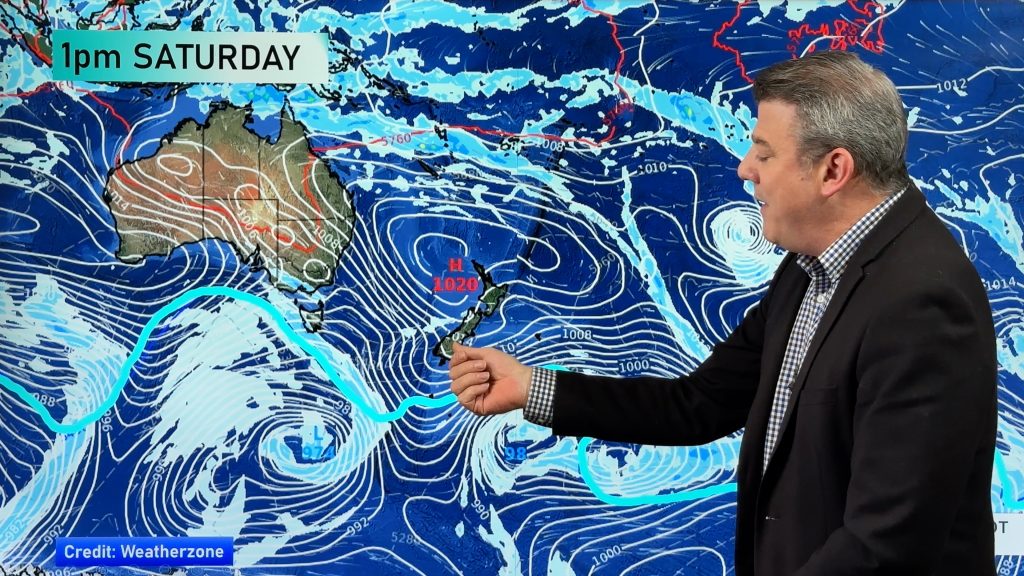
A front moves northwards over the South Island today reaching the lower North Island this evening, northwesterlies ahead of the front then changing southwest. Frontal activity reinvigorates about the lower North Island on Thursday while another front moves out of the Tasman Sea onto the lower South Island in the afternoon. A weakening front moves over the upper North Island during Friday, a westerly airflow lies over the rest of New Zealand.
Wednesday
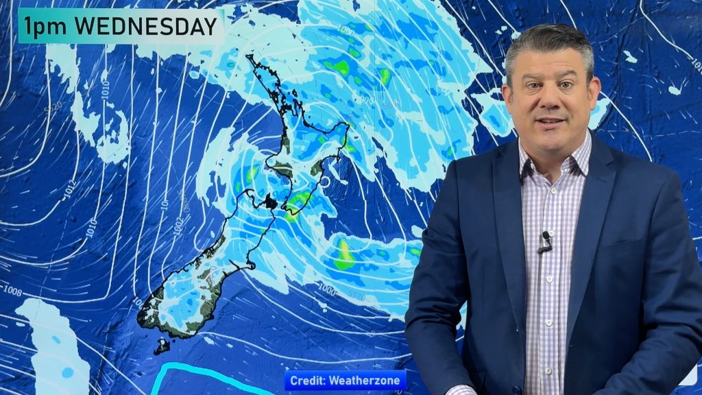
Blue – Heavy rain about North Westland eases away in the afternoon.
Purple – Strong northwesterlies through Cook Strait gusting to gale at times ease later in the evening.
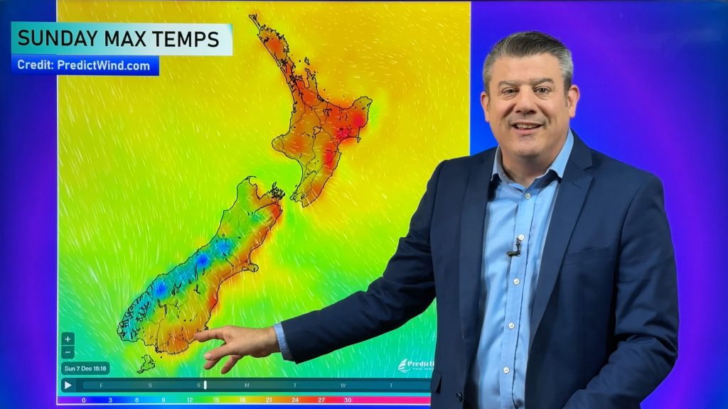
Yellow – Temperatures reaching into the mid 20’s for parts of the North Island and eastern South Island marked below, late 20’s for the eastern North Island and some parts of Northland.
Thursday
Blue – Rain becoming heavy about the lower North Island in the west and northern parts of the upper South Island during the afternoon then easing later in the evening.
Yellow – High’s in the mid to late 20’s for Waikato northwards and the Gisborne region.
Friday
Purple – Brisk to strong westerlies develop about coastal Southland from afternoon.
Yellow – High’s reaching into the mid 20’s for the eastern South Island in the afternoon. Mid to late 20’s for much of the North Island. Early 30’s possible for some parts of the eastern North Island.

– Please note, the idea behind this update is to focus on the main weather highlights, which is why not all regions are mentioned.
For specific 10 day information for your city, town, rural community or island please see the 1500 forecasts on our homepage!
– Aaron Wilkinson, WeatherWatch.co.nz
Comments
Before you add a new comment, take note this story was published on 31 Jan 2017.


Add new comment