
> From the WeatherWatch archives
A ridge brings some settled weather on Wednesday, overnight however a front stretches out from a low in the Tasman Sea bringing some rain to the upper North Island.
Cloudy areas and occasional sun for the upper North Island, there may be a shower or two also especially for Auckland. Overnight some rain moves in and there may be a heavy fall or two about Auckland, Waikato and Bay Of Plenty.
A mainly sunny day for the lower North Island, some cloud at times in the west. Winds are generally light. Frosty to start for inland areas.
A mainly sunny day across the South Island, some morning cloud Greymouth northwards then clearing away also there may be some cloud at times about coastal fringes along the east coast. Otherwise skies are mainly clear with very frosty conditions in the morning, perhaps approaching -7 to -8 degrees about some isolated inland areas. A touch of high cloud develops later in the day.
Blue – Heavy form of precipitation or cold temperatures, typically below 1 to 2 degrees celsius.
Purple – Strong winds.
Yellow – Temperatures around the mid 20 degree mark or over.

Not all regions and towns have been mentioned above. For specific 10 day information for your city, town, rural community or island please see the 1500 forecasts on our homepage!
– Aaron Wilkinson, WeatherWatch.co.nz
Comments
Before you add a new comment, take note this story was published on 4 Jul 2017.
Latest Video

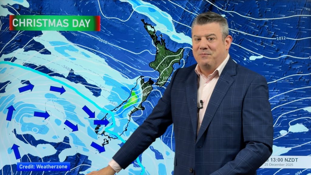
Weather for Christmas & NYE: The good, the bad and the ugly…
Low pressure, windy weather, hot and cold – it’s all in the mix over the coming days, bringing both hot…
Related Articles
Weather for Christmas & NYE: The good, the bad and the ugly…
Low pressure, windy weather, hot and cold – it’s all in the mix over the coming days, bringing both hot…
Santa Tracker 2025
Track Santa’s progress this Christmas Eve with the 2025 WeatherWatch Santa Tracker! We expect Santa to show up some time…
Latest Christmas forecast + New Year’s Eve outlook
We have an extended forecast covering the rest of 2025 as a cold change looks set to kick in from…


Add new comment