> From the WeatherWatch archives
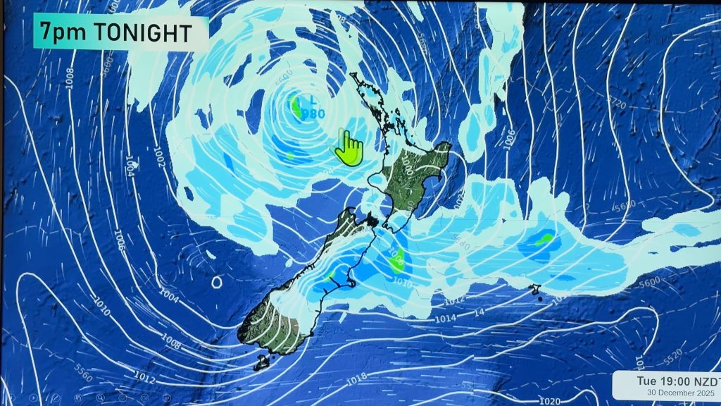
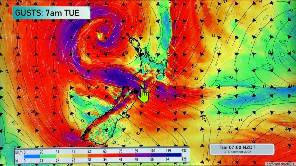
A low sits off to the west of the South Island on Wednesday dragging in a humid east to northeasterly airflow over New Zealand.
Mostly cloudy over much of the North Island with showers for most regions, there may be a few sunny spells about the Waikato northwards. Showers may become heavy in the afternoon with a low risk of thunder about south Auckland and the Waikato. Rain feeds into the Bay Of Plenty during the day with heavy falls now and then, heavy falls may branch into Gisborne and Hawkes Bay at times.
Afternoon high’s reaching into the mid 20’s Waikato northwards. Humid northeasterly winds.
A band of rain about the upper South Island is fairly slow moving, this could bring areas of heavy rain which then ease in the evening. Generally cloudy elsewhere with a few showers about the place, rain for Southland and Otago may be heavy at times. Winds gusty from the southeast about the lower South Island, especially about coastal areas.
Blue – Heavy form of precipitation.
Purple – Strong winds.
Yellow – Temperatures around the mid 20 degree mark or over.

Not all regions and towns have been mentioned above. For specific 10 day information for your city, town, rural community or island please see the 1500 forecasts on our homepage!
– Aaron Wilkinson, WeatherWatch.co.nz
Comments
Before you add a new comment, take note this story was published on 11 Apr 2017.


Add new comment