> From the WeatherWatch archives
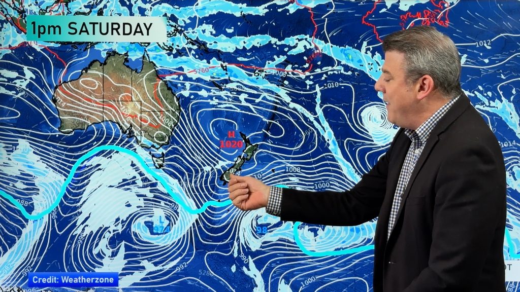
A ridge hangs onto the upper North Island on Tuesday while a brisk to strong northwesterly airflow lies over the rest of the country. A front moves onto the lower South Island in the evening.
For the upper North Island expect morning cloud to break to sunny spells, winds mostly from the southwest although afternoon sea breezes develop about eastern Northland and the Bay Of Plenty.
Mostly cloudy for the lower North Island in the west, the odd light patchy shower with westerly winds. The east coast is mainly sunny with some high cloud from afternoon, northwesterlies for most although afternoon northeasterly winds for coastal Hawkes Bay / Gisborne.
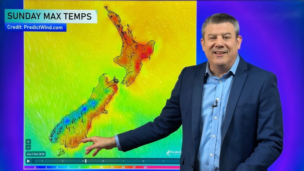
Temperatures reaching into the mid to late 20’s for many, perhaps early to mid 30’s for the east of the North Island just inland away from the coast.
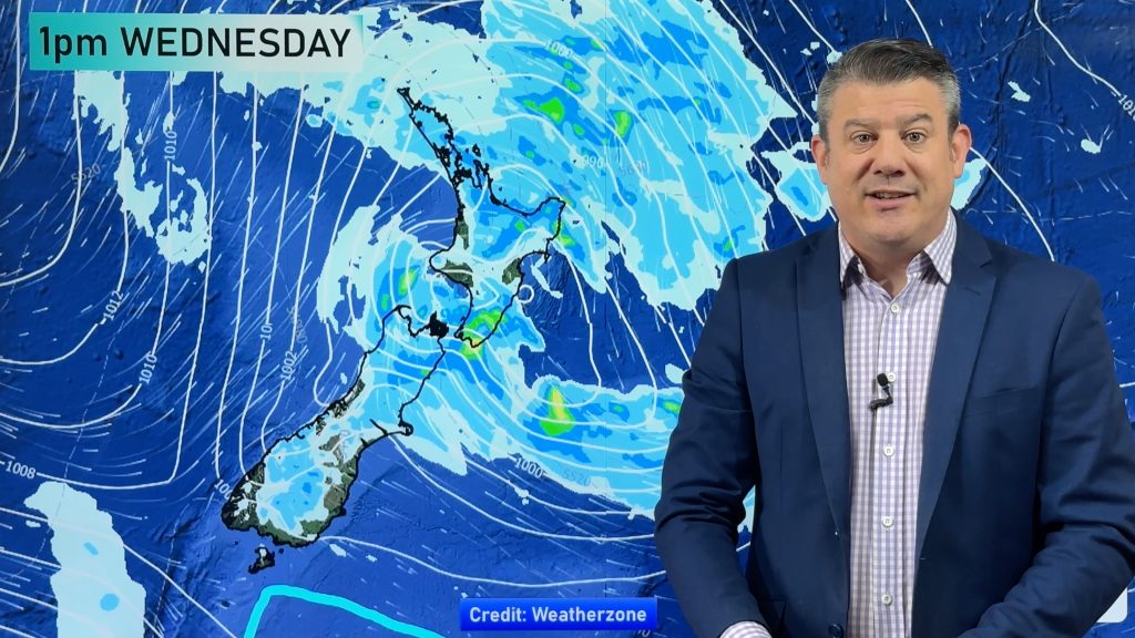
A cloudy day for the West Coast of the South Island, the odd light shower about, rain moves into Fiordland in the morning becoming heavy then moving a little further northwards in the evening / overnight. Nelson through to Canterbury see plenty of high cloud, northwesterly winds becoming gusty in the afternoon perhaps strong about inland areas. Northwesterlies through Cook Strait are strong for most of the day gusting to gale at times.
Southland and Otago see plenty of high cloud, gusty northwesterly winds. The odd spit about Southland from afternoon then rain moves in during the evening with a southwest change. Rain may be heavy then easing later. Rain moves into Otago later in the evening although it will quickly ease overnight.
Afternoon high’s for the east of the South Island reaching into the high 20’s, perhaps even early 30’s in some isolated spots.
Blue – Heavy form of precipitation.
Purple – Strong winds
Yellow – Temperatures around the mid 20 degree mark or over.

Not all regions and towns have been mentioned above. For specific 10 day information for your city, town, rural community or island please see the 1500 forecasts on our homepage!
– Aaron Wilkinson, WeatherWatch.co.nz
Comments
Before you add a new comment, take note this story was published on 30 Jan 2017.


Add new comment