> From the WeatherWatch archives
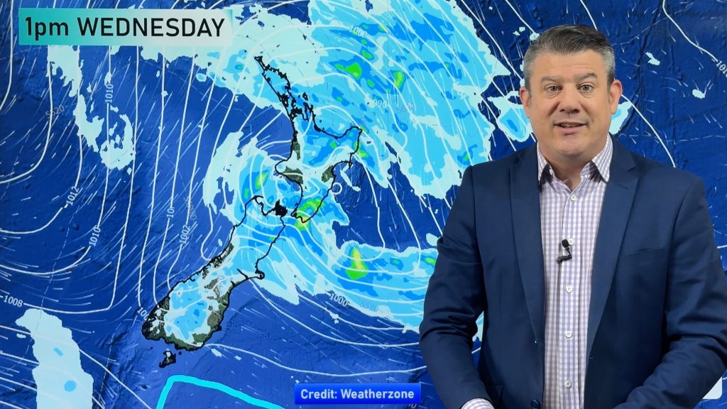
A front and associated low pressure system move towards the North Island tomorrow, the front makes landfall in the afternoon about Northland then gradually spreads southwards affecting Bay Of Plenty evening / overnight. The rest of the country is caught in a southerly airflow bringing cloud in the east and sunnier skies out west.
Cloudy for the upper North Island tomorrow, rain moves onto Northland and Auckland during the afternoon then spreads into the Waikato and Bay Of Plenty in the evening. Rain may be heavy at times with the Coromandel and Bay Of Plenty seeing the biggest totals overnight. There may be a shower or two for most parts of the upper North Island before the main front arrives.
Cloudy for Wellington and the east coast of the North Island with southerlies, chance of a light shower now and then. Gisborne sees rain move in overnight. Mainly sunny for a small pocket of the North Island in the southwest from southern Taranaki to Kapiti with some high cloud.
The South Island is a tale of two halves. Mainly cloudy weather in the east, perhaps a drizzle patch or two about also. Right on the coast some sun may break through at times. Along the West Coast and about Southland / Central Otago conditions are mainly sunny.

Not all regions and towns have been mentioned above. For specific 10 day information for your city, town, rural community or island please see the 1000 forecasts on our homepage!
– Aaron Wilkinson, WeatherWatch.co.nz
Comments
Before you add a new comment, take note this story was published on 19 Sep 2016.


Add new comment