> From the WeatherWatch archives
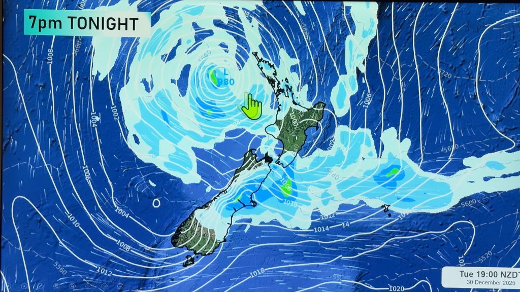
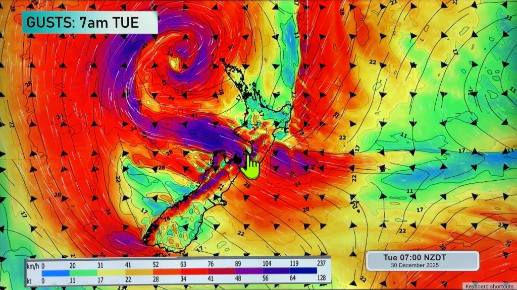
A ridge pushes onto the South Island on Monday morning while strong southerlies ease during the day for the North Island.
For the western North Island expect morning showers to clear then sunny areas increase in the afternoon, gusty southerlies strong about coastal areas ease during the day. Heavy rain for the east coast easing to showers by midday, strong southerlies gusting to gale about the coast gradually ease during the day.
A frosty start for the inner South Island, probably the first decent frost we will have had so far this year. Starting out around 0 to -2 for most, perhaps even down to -3 or a fraction lower for some isolated spots.
Apart from that expect mainly sunny conditions for the West Coast and Nelson. Showers about eastern coastal fringes (Canterbury and Marlborough) clear away during the morning, sunny spells then increase with cold southerlies easing. Morning cloud about Southland and Otago breaks to sunny spells, light winds.
Blue – Heavy form of precipitation.
Purple – Strong winds.
Yellow – Temperatures around the mid 20 degree mark or over.

Not all regions and towns have been mentioned above. For specific 10 day information for your city, town, rural community or island please see the 1500 forecasts on our homepage!
– Aaron Wilkinson, WeatherWatch.co.nz
Comments
Before you add a new comment, take note this story was published on 30 Apr 2017.


Add new comment