> From the WeatherWatch archives
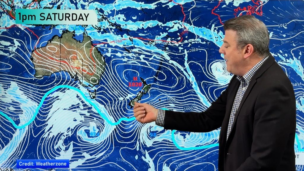
Generally anticyclonic for New Zealand on Monday however not overly strong, a big low sits off to the northeast of the North Island bringing a few showers for some exposed northeastern areas. Another small feature is bringing showers for the far south of the South Island.
Expect plenty of thick high cloud across the North Island however it will gradually move away from afternoon starting in the west. Northland, the Coromandel and northern parts of Auckland will see fairly cloudy skies with the chance of a shower or two during the day. Winds from the east or southeast.
Gisborne and East Cape see a few showers, Hawkes Bay has thick high cloud then a few showers may move in during the afternoon. Elsewhere across the North Island is mainly dry, once again areas of high cloud start to move away from afternoon or evening.
The upper half of the South Island has mainly sunny weather, winds are mainly light. Some cloud moves into South and perhaps Mid Canterbury from afternoon. Fiordland sees a few showers, clearing from mid afternoon. Southland sees showers for much of the day reaching into Otago at times.
Blue – Heavy form of precipitation.
Purple – Strong winds.
Yellow – Temperatures around the mid 20 degree mark or over.

Not all regions and towns have been mentioned above. For specific 10 day information for your city, town, rural community or island please see the 1500 forecasts on our homepage!
– Aaron Wilkinson, WeatherWatch.co.nz
Comments
Before you add a new comment, take note this story was published on 23 Apr 2017.


Add new comment