> From the WeatherWatch archives
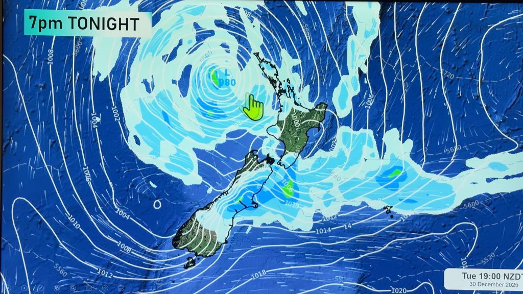
A low pressure system moves over the North Island on Friday with an easterly quarter airflow over the country tending southwest later in the day.
Cloudy areas with the odd shower about for the upper North Island, the Bay Of Plenty sees slightly more persistent rain in the morning then easing to the odd shower. Overnight winds change strong southwest bringing rain.
Rain about the lower North Island in the west with east to southeasterly winds. Rain along the east coast with east to northeasterly winds, rain may back off to drizzle at times.
Rain for Wellington, possibly heavy from late afternoon. Gusty southerly winds.
Some rain or drizzle about Nelson and Marlborough, rain becoming more persistent from evening. Gusty southerlies tend southwest overnight.
Areas of rain about Canterbury with southwesterly winds. Snow flurries falling to about 500m in the morning about South Canterbury, 800m for North Canterbury, lifting above 1000m in the afternoon about North Canterbury and lifting above 1000m overnight further south. Southwesterlies gradually freshen becoming gusty about Banks Peninsula overnight.
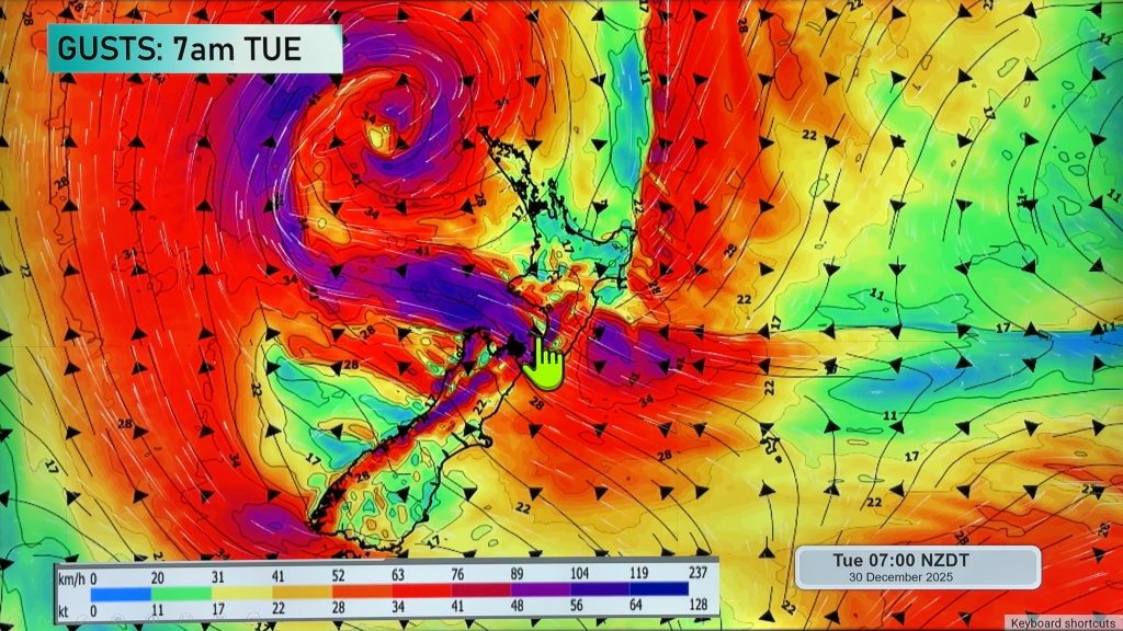
Blue – Heavy form of precipitation or cold temperatures, typically below 1 to 2 degrees celsius.
Purple – Strong winds.
Yellow – Temperatures around the mid 20 degree mark or over.

Not all regions and towns have been mentioned above. For specific 10 day information for your city, town, rural community or island please see the 1500 forecasts on our homepage!
– Aaron Wilkinson, WeatherWatch.co.nz
Comments
Before you add a new comment, take note this story was published on 22 Jun 2017.


Add new comment
Zelda on 22/06/2017 4:41am
Lovely to see real formed clouds scuttling above pale blue sky strip S E of New Lynn.
Reply