> From the WeatherWatch archives
A southwesterly airflow eases on Friday as a large high sits in the Tasman Sea pushing in in the form of a ridge later in the day.
Fairly cloudy about the upper North Island with a few light showers or drizzle patches, some sun may break through later in the afternoon although the odd light shower may continue through the night. Morning cloud about the Bay Of Plenty breaks to a mostly sunny afternoon. Winds from the west or southwest.
A cloudy morning for the lower North Island in the west, perhaps a light shower or two then sunny areas increase from afternoon. Light winds. The east coast starts off with sunnier skies then late morning winds tend southerly bringing increasing cloud and the chance of a drizzle patch from afternoon.
Some sun to start the day about Nelson and Marlborough then cloud increases, winds are light. Morning drizzle clears about Canterbury then sunny spells break through late afternoon, light winds.
The odd light shower or drizzle patch about Buller, gradually easing and becoming drier before clearing in the evening. A sunny spell or two may sneak through from late afternoon. Further south along the West Coast conditions are drier with sunny areas breaking through from morning.
Southland and Otago are mainly sunny after any early cloud clears, perhaps a touch of high cloud at times during the day. Winds are light.
Blue – Heavy form of precipitation or cold temperatures, typically below 1 to 2 degrees celsius.
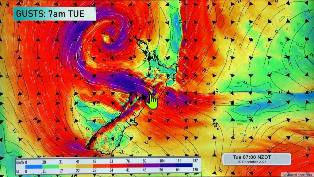
Purple – Strong winds.
Yellow – Temperatures around the mid 20 degree mark or over.

Not all regions and towns have been mentioned above. For specific 10 day information for your city, town, rural community or island please see the 1500 forecasts on our homepage!
– Aaron Wilkinson, WeatherWatch.co.nz
Comments
Before you add a new comment, take note this story was published on 15 Jun 2017.


Add new comment