> From the WeatherWatch archives
A front slowly pushes northwards over the upper South Island on Friday, strong northerlies precede the front then changing westerly in behind. Meanwhile a northerly airflow lies over the North Island.
Sunny spells and increasing cloud for the upper North Island, low risk of a shower in the afternoon. A chance of early morning fog about inland areas. North to northeasterly winds.
Sunny areas and increasing high cloud for the lower North Island in the west, Taranaki sees mostly cloudy skies from morning with the chance of a shower or two, more likely overnight. North to northwesterly winds.
Mostly sunny with some high cloud along the east coast, north to northwesterly winds. Cloudy with the odd shower or spit of rain about Wellington, gusty north to northwesterly winds.
Cloudy with the odd spot of rain at times about Marlborough, Nelson sees slightly more persistent areas of rain. Gusty north to northwesterly winds. Thick high cloud about Canterbury, a few morning spots of rain clear. Breezy northerlies (strong inland) ease from afternoon and tend a little more northwest.
Heavy morning rain for the West Coast then easing to the odd shower around midday as gusty northerlies change lighter southwest. Rain may not ease about Buller till mid afternoon.
Sunny spells about Southland, chance spot of rain otherwise mainly dry. Otago has mainly sunny weather. Strong west to northwesterly winds, changing southwest in the afternoon about coastal Otago.
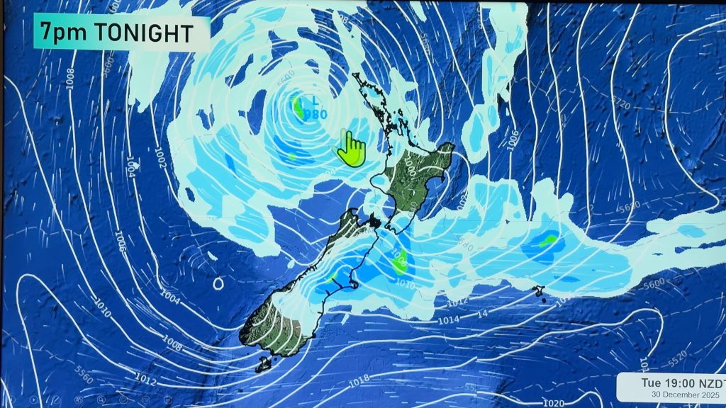
Blue – Heavy form of precipitation.
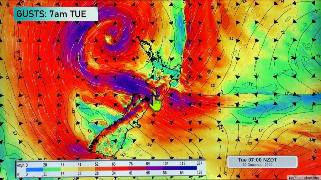
Purple – Strong winds.
Yellow – Temperatures around the mid 20 degree mark or over.

Not all regions and towns have been mentioned above. For specific 10 day information for your city, town, rural community or island please see the 1500 forecasts on our homepage!
– Aaron Wilkinson, WeatherWatch.co.nz
Comments
Before you add a new comment, take note this story was published on 27 Apr 2017.


Add new comment