InfoGraphic: The Big Picture for Wednesday / Thursday
23/07/2019 7:00pm

> From the WeatherWatch archives
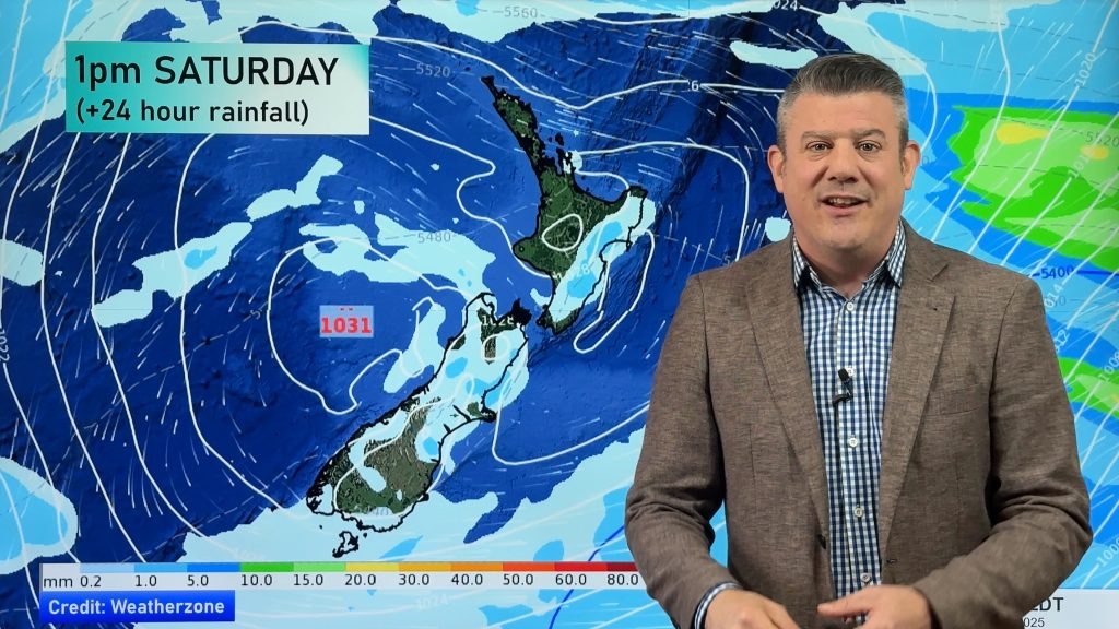
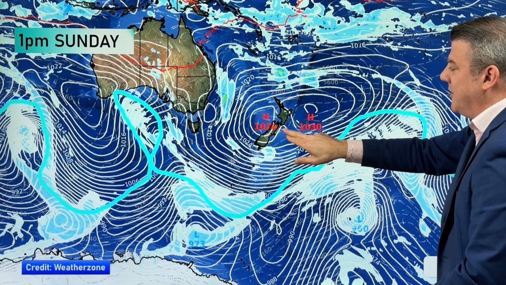
A slack pressure gradient lies over New Zealand today although there is some shower activity about especially for the eastern North Island. A large anticyclone to the east and a low pressure system in the Tasman Sea drags a north to northeasterly airflow over the country on Thursday.
Sunny spells for the western North Island on Wednesday, perhaps an isolated shower or two about also (more so from afternoon) otherwise mainly dry. In the east expect patchy rain or showers / drizzle. Cloudy areas with the risk of a shower about Nelson / Marlborough, especially this morning then starting to dry out from afternoon. Morning cloud about Canterbury with a few showers then breaking to afternoon sunny spells. Any morning cloud about Southland and Otago breaks to mostly sunny conditions. Cloud builds in the west, more so about Fiordland with a light shower or two there from afternoon.
Sunny areas and increasing cloud for most North Island regions on Thursday, a mainly dry morning then the odd shower starts to move in from afternoon. Cloudy areas about Nelson may bring a light shower or two, elsewhere expect areas of morning low cloud or fog then afternoon sun with some high cloud.

By Weather Analyst Aaron Wilkinson – WeatherWatch.co.nz
Comments
Before you add a new comment, take note this story was published on 23 Jul 2019.


Add new comment