InfoGraphic: The Big Picture for Wednesday / Thursday
27/02/2018 6:00pm

> From the WeatherWatch archives
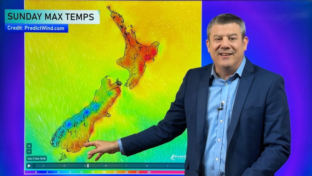
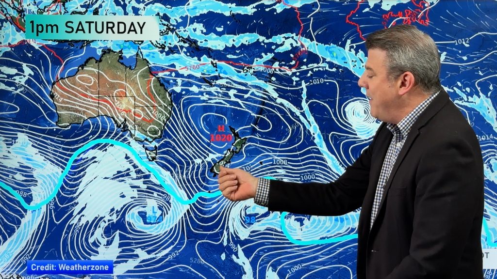
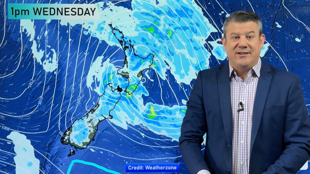
A low sits west of the country today and on Thursday directing a northeasterly airflow over New Zealand.
Areas of rain or showers for most of the South Island today, possibly heavy along the West Coast mainly this morning. Some eastern coastal areas may becoming drier this afternoon onwards. Dry for Southland and Otago with some high cloud and warmer temperatures.
Conditions over the North Island are looking drier with only a shower or two about, mainly this morning. Some morning rain about Wellington and the Wairarapa clears away.
Areas of rain about the West Coast of the South Island may be heavy at times, drier in the east but a few showers still possible especially about Southland and Otago. Drier the further north you go into Marlborough and Nelson.
A shower or two for northeastern parts of the North Island on Thursday, dry along the east coast with a mix of sun and cloud. There is a chance of some heavy rain for northern parts of Northland during the day.

By Weather Analyst Aaron Wilkinson – WeatherWatch.co.nz
Comments
Before you add a new comment, take note this story was published on 27 Feb 2018.


Add new comment