InfoGraphic: The Big Picture for Tuesday / Wednesday
25/02/2019 6:00pm

> From the WeatherWatch archives
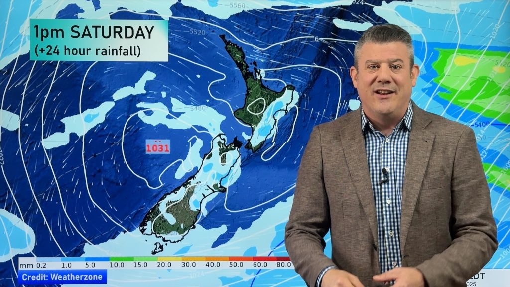
An anticyclone covers most of New Zealand on today, northwesterlies build over the South Island later on. A front pushes northwards over the South Island on Wednesday meanwhile a ridge weakens further north.
Mostly sunny for a fair majority of the North Island today, showers about Hawkes Bay clear in the morning, clearing Gisborne in the afternoon. A shower or two may pester eastern Northland at times. The South Island is mostly sunny in the east and north, some cloud in the west with light showers for Fiordland. Spots of rain possible for Southland otherwise mainly dry.
Mostly sunny for the upper North Island on Wednesday, perhaps a few morning showers about northeastern fringes clearing away. Cloud increases about the lower western North Island from morning, a shower or two possible from afternoon, a mainly sunny day in the east. Heavy rain pushes northwards along the West Coast during the day, it will ease though as it moves northwards. Mainly dry in the east, morning rain moves through Southland, Otago around midday then pushing into Canterbury by evening.

By Weather Analyst Aaron Wilkinson – WeatherWatch.co.nz
Comments
Before you add a new comment, take note this story was published on 25 Feb 2019.


Add new comment