> From the WeatherWatch archives
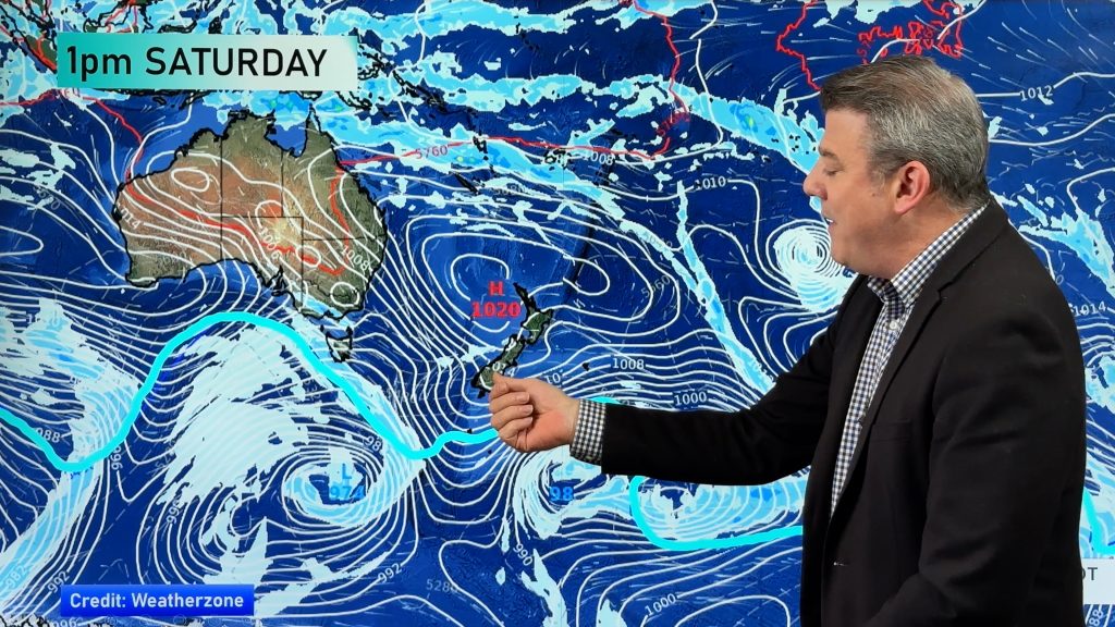
A large high sits in the Tasman Sea on Thursday directing a cold southwestely airflow over New Zealand, a front within this flow moves over the North Island during the morning. Skies are potentially unstable behind this front in the afternoon.
Showers or rain will affect most parts of the North Island on Thursday, there is the risk of a thunderstorm and some hail in the afternoon about the Waikato and Bay Of Plenty then easing in the evening. Some snow to 700m about the Central Plateau and along the ranges of the east coast, early snow possible to 600m about Marlborough and Wellington.
The South Island has a mixed bag of showers and sunny spells, morning rain about Nelson and Marlborough clears away then showers with a chance of hail and thunder is possible for Nelson in the afternoon before easing evening. Some hail possible in the afternoon for Canterbury also, perhaps the low risk of some thunder too.

By Weather Analyst Aaron Wilkinson – WeatherWatch.co.nz
Comments
Before you add a new comment, take note this story was published on 31 Oct 2018.


Add new comment