> From the WeatherWatch archives
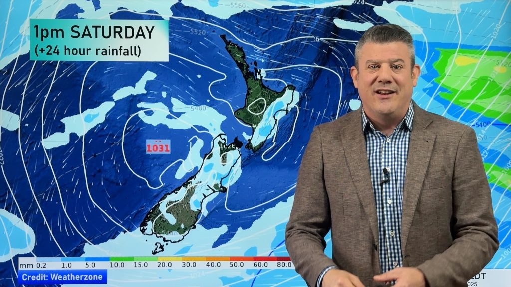
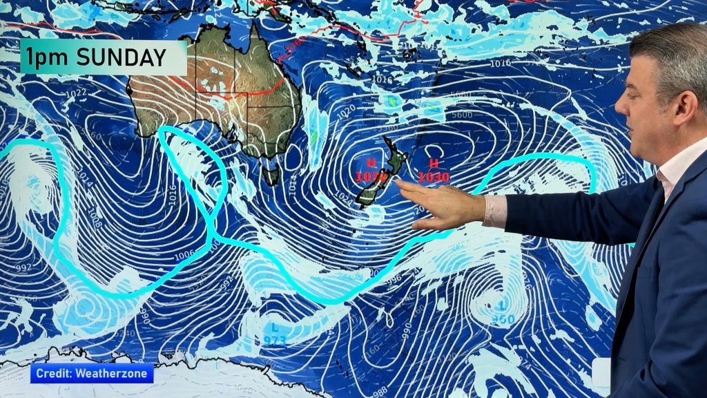
The ridge lies over the country on Thursday morning however it then gets quickly shoved away as a front moves onto the lower South Island late morning, reaching the North Island in the evening.
A cold or frosty start for many inland areas on Thursday morning.
Rain pushes northwards over the South Island during Thursday, a chance of some heavy rain for South Westland with only showers or a few spots out east. Rain moves onto the western North Island in the evening.
Strong southwesterlies about the eastern North Island ease in the morning, in the west southwesterly winds become strong there later in the evening. For the South Island it’s not till late afternoon or evening that strong southwesterlies push northwards along the east coast.

By Weather Analyst Aaron Wilkinson – WeatherWatch.co.nz
Comments
Before you add a new comment, take note this story was published on 11 Apr 2018.


Add new comment