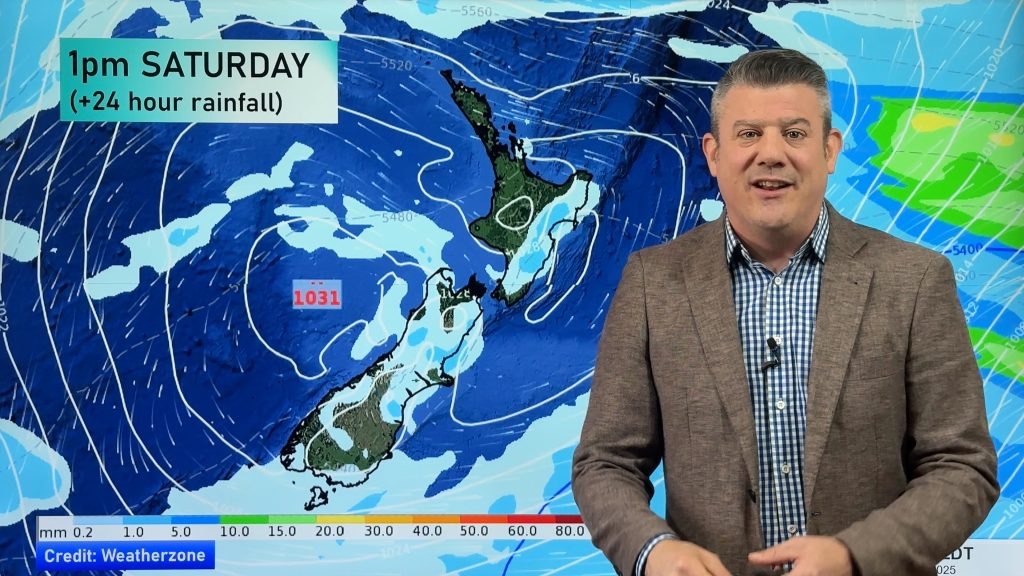
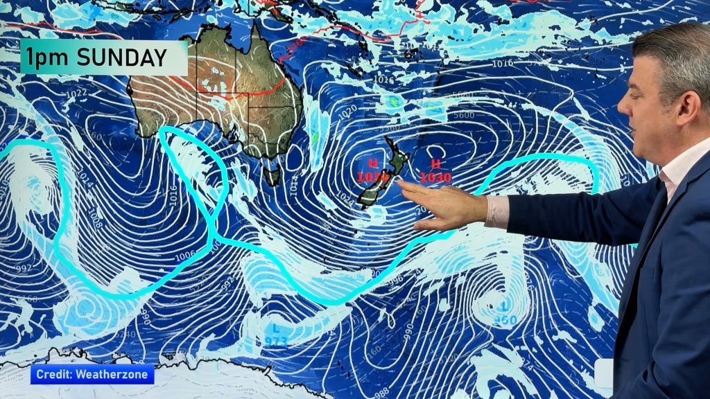
InfoGraphic: The Big Picture for Monday / Tuesday
8/04/2018 7:00pm

> From the WeatherWatch archives
Not a lot is going on in New Zealand weather wise for most of today, conditions will deteriorate later on however as a low in the Tasman Sea moves towards the western side of the country. This low combines with a cold southerly airflow which moves onto the South Island overnight. Strong south to southeasterly winds cover the South Island on Tuesday gradually spreading to the North Island later in the day.
Cloudy areas or mostly cloudy for a fair amount of New Zealand today, a few showers about also. It’s not till evening that rain really starts to set in over the South Island with heavy falls possible for the upper half of the Island later on / overnight. Snow flurries develop about the mountain ranges in the evening also.
The weather will be full on for Tuesday as a strong southerly quarter airflow gradually moves northwards during the day. Rain for the South Island (especially the upper half) may be heavy then easing in the afternoon, rain becomes heavy for the lower North Island in the morning then slowly spreads northwards during the day. A chance of thunderstorms around midday for the upper North Island, and again later in the evening or around midnight. Expect snow about the mountain ranges of both Islands, down to 300m in the far south, 400m in Canterbury, 500m for Marlborough, overnight snow reaches down to 500m about the Central Plateau and for the ranges of Hawkes Bay.

By Weather Analyst Aaron Wilkinson – WeatherWatch.co.nz
Comments
Before you add a new comment, take note this story was published on 8 Apr 2018.


Add new comment