InfoGraphic: The Big Picture for Monday / Tuesday
6/10/2019 6:00pm

> From the WeatherWatch archives
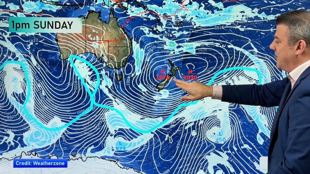
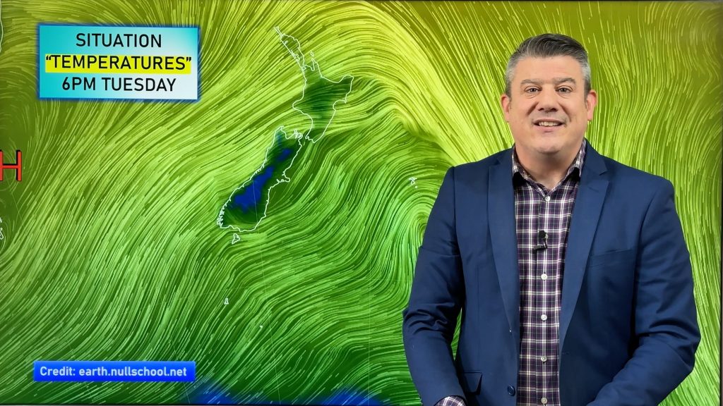
A northwesterly airflow gradually increases over New Zealand today while a large anticyclone is situated to the northeast of the North Island. Northwesterlies continue over the North Island on Tuesday meanwhile a front slowly makes inroads for the South Island, mainly affecting the West Coast with some rain.
Cloudy areas for the upper North Island today, the odd shower about also. Mostly sunny for the east coast. The West Coast of the South Island is mostly cloudy, showers also especially down about South Westland. Dry and warm in the east with a touch of high cloud.
A mix of sun and cloud for most western and northern parts of the North Island on Tuesday, sunny for the east coast. Cloudy for the West Coast of the South Island with rain and a few heavy falls, mainly dry in the east however Southland sees a few patchy showers or some rain.

By Weather Analyst Aaron Wilkinson – WeatherWatch.co.nz
Comments
Before you add a new comment, take note this story was published on 6 Oct 2019.


Add new comment