InfoGraphic: The Big Picture for Friday / Saturday
31/10/2019 6:00pm

> From the WeatherWatch archives
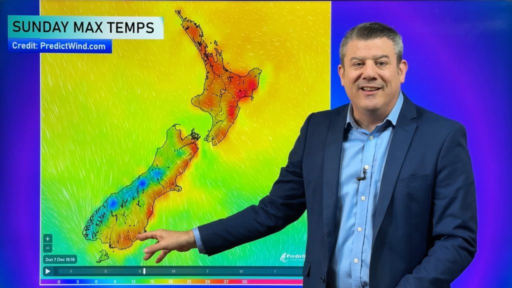
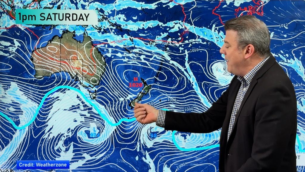
A southwesterly airflow lies over the country on Friday and Saturday as a large anticyclone lies in the Tasman Sea.
Cloudy areas for the western North Island today, risk of a shower or two also otherwise mainly dry. Cloudy areas develop in the morning along the east coast with the risk of a shower, drying out in the afternoon. A shower or two for the West Coast north of about Hokitika, sunnier skies further south. A mix of sun and cloud for Marlborough down through to Southland in the east.
Morning cloud for Northland and Auckland on Saturday then breaking to mostly sunny weather, risk of a shower in the morning along the east coast then becoming mostly sunny in the afternoon. Mostly sunny for the rest of the North Island with some high cloud. Mostly sunny for a majority of the South Island with some high cloud about, temperatures becoming warm for some areas.

By Weather Analyst Aaron Wilkinson – WeatherWatch.co.nz
Comments
Before you add a new comment, take note this story was published on 31 Oct 2019.


Add new comment