> From the WeatherWatch archives
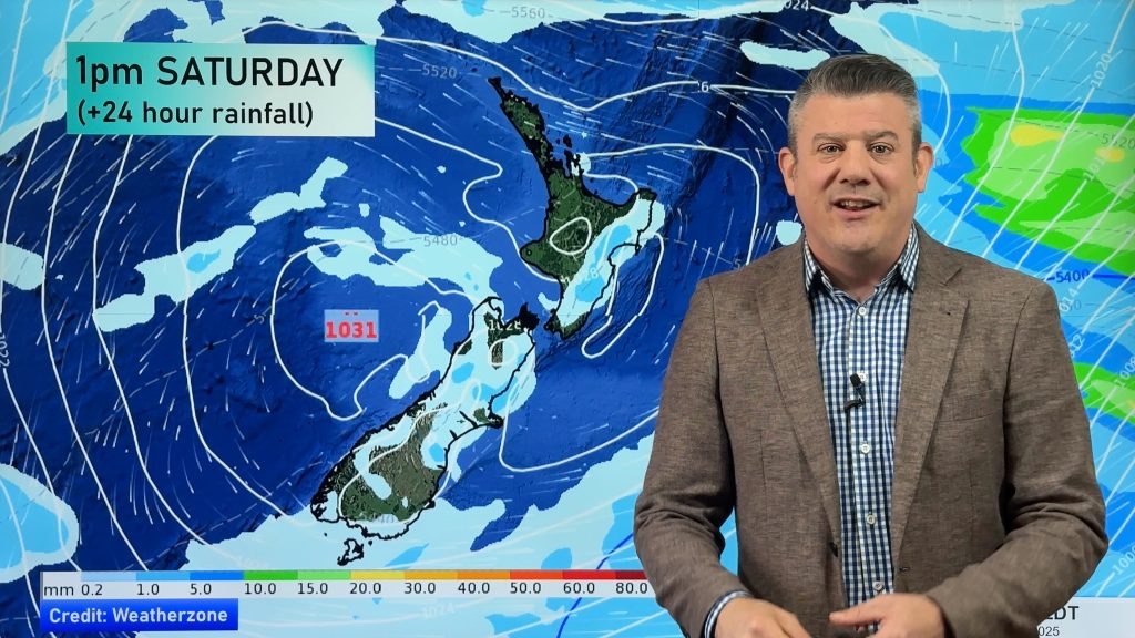
On Friday a northerly airflow increases with a front moving onto the lower South Island in the morning.
A northerly airflow increases on Friday, there is a chance of morning fog for the Waikato as a ridge of high pressure hangs on first thing. Heavy rain pushes into Fiordland in the afternoon then moving around into Southland and Otago through till evening, rain about Southland and Otago won’t be overly heavy but the intensity should pick up later in the day / overnight.

By Weather Analyst Aaron Wilkinson – WeatherWatch.co.nz
Comments
Before you add a new comment, take note this story was published on 26 Apr 2018.


Add new comment