> From the WeatherWatch archives
An amazing band of thunderstorms stretching from Northland to Southern Waikato rattled houses and caused surface flooding yesterday afternoon. A dramatic thunderstorm in Auckland caused a large hailstorm over the North Shore and produced dramatic fork lightening.
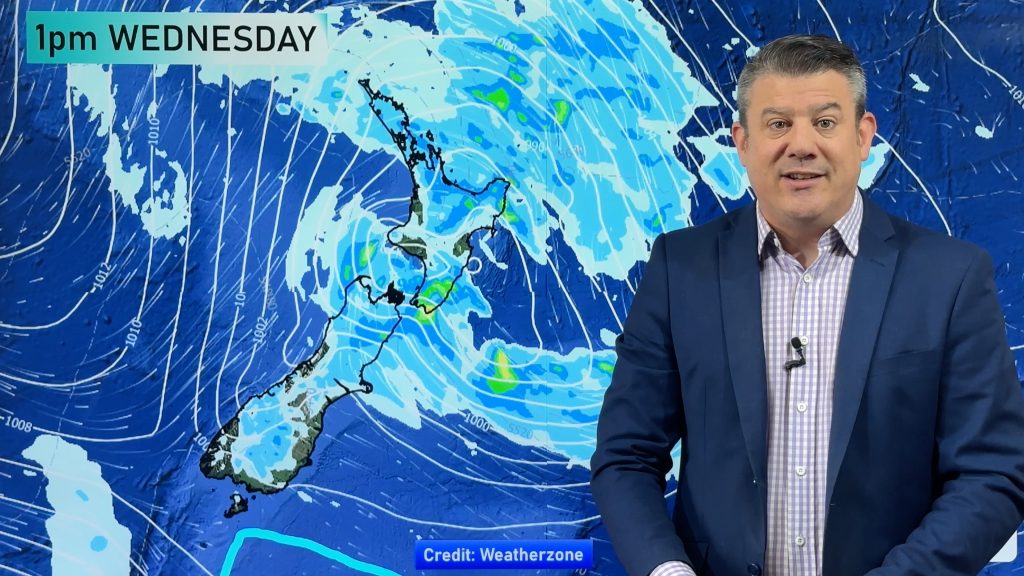
The low that brought the weather is this morning spiraling over the greater Auckland region. “The low itself is now centered directly over Auckland city. I guess you could say we’re in the ‘eye’ of the storm, which is why it’s calm and mainly sunny early this morning” says Head Weather Analyst Philip Duncan.
“There are plenty of heavy showers north, south, east and west of this low, so there is still the possibility of heavy showers this afternoon, some with thunder”. However Duncan says with a cooling southerly kicking in this afternoon those thunderstorms might not get a chance to develop as large as they did yesterday.
“It just depends how soon and how strong this southerly develops – at this stage we’ll just continue to monitor the latest weather maps and update again if we need to. This system is constantly changing”.
THUNDERSTORM FACTS:
Lightening bolts can heat up to 30,000 degrees Celsius – that’s hotter than the surface of the sun!
They carry 1.5 million volts
To find out how far many kilometers away the lightening is, count the seconds between the thunder and the lightening, then divide that number by 3.
Comments
Before you add a new comment, take note this story was published on 23 Sep 2007.


Add new comment