> From the WeatherWatch archives
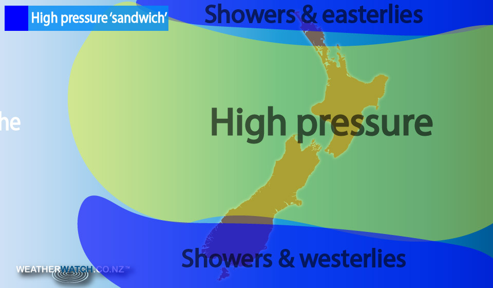
The high pressure sandwich over New Zealand continues – with a high dominating through central areas and showers mostly affect the very top and very bottom of the nation.
Showers this morning around the upper North Island – which have been around since the weekend when the sub-tropical airflow properly kicked in – have finally mostly moved out to sea.
Late Tuesday and over Wednesday morning the most humid weather has moved northwards.
Auckland, which like Hamilton and Tauranga has had 100% humidity at times during the middle of the day, has seen a decent drop in humidity levels.
Humidity levels in our largest city will fall to around 60% for the next few days but creeps up a bit by the weekend, possibly towards 80% for a time – still well down on where it’s been.
As of 9am humidity levels were at 80% in Auckland. The change for Waikato, Auckland and parts of Northland swept through on Tuesday afternoon. For a time humidity levels increased in Auckland to 95% on Tuesday afternoon, but had fallen to the 70% range by evening as the slightly refreshing south-east change moved in. This was created by the large high pushing across New Zealand this week.
Meanwhile the ‘high pressure sandwich’ means eastern areas will remain mostly dry, despite some rain pushing into the South Island’s southern and south western corner. A few spits may cross the ranges into Otago and Canterbury in the coming days, but it wont be much – or probably even measurable for many.
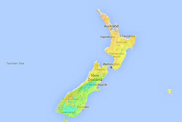
9:20am TEMP MAP…
…shows a fairly average morning across the country – slightly warmer in the north, and slightly cooler in the south (following the cold change on Monday/Tuesday). South Islanders will have a warmer day today – and hotter weather moving in Thursday and Friday thanks to nor’westers. No where in NZ is currently excessively warm or cold.

– WeatherWatch.co.nz
Comments
Before you add a new comment, take note this story was published on 1 Mar 2016.


Add new comment