> From the WeatherWatch archives
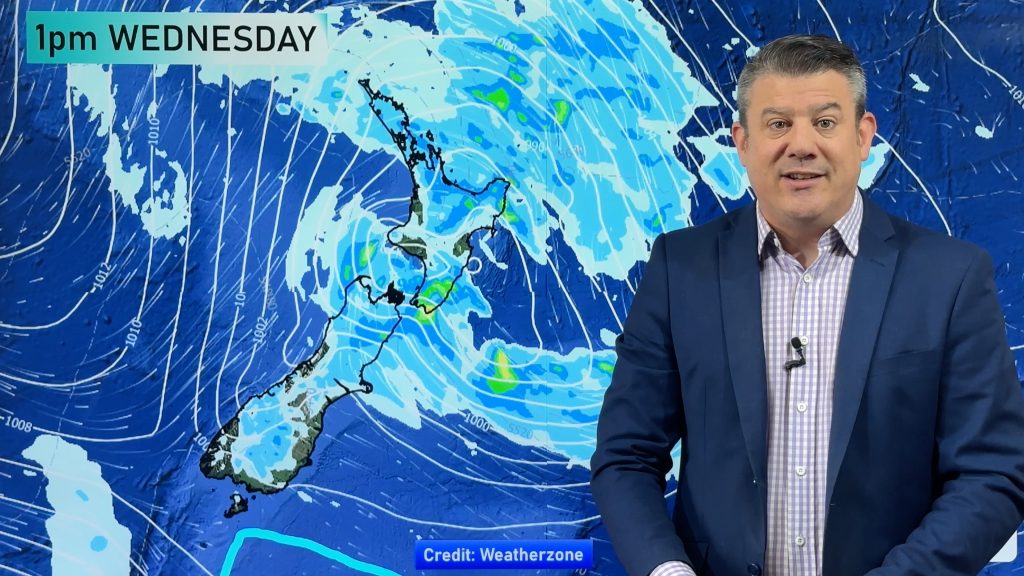
As a centre of low pressure continues to pinwheel its way across central New Zealand, heavy rain continues to fall over the upper South Island.
A few brief heavy showers have also been found across parts of the central North Island.
This trend will continue as we head into the late afternoon and evening hours. The heaviest rain is likely to fall over the upper South Island around Kaikoura possibly extending as far south as Waipara. Government forecaster MetService has a Heavy Rain Warning in effect for the Kaikoura coast and ranges as well as Canterbury north of Waipara. MetService believes the heaviest rain is due to ease this evening.
I’m not so sure about that.
Here’s the problem. That low is not exected to cross into the Pacific until late tonight or early Wednesday morning. With the low passing just to the north of the upper South Island, the Kaikoura coat and ranges are in the best position for seeing heavy rain as the centre of the low crosses the country.
So, until the centre of the low moves east of the country, heavy rain will continue to be a significant threat for these areas.
Pockets of heavy rain are still possible for Wellington and Wairarapa as well. A few brief heavy showers could still develop around the central North Island as we head into this evening. However, in neither of these cases are the rainfall amounts expected to approach warning criteria.
-Howard Joseph, WeatherWatch.co.nz
Comments
Before you add a new comment, take note this story was published on 15 Jan 2013.


Add new comment
Guest on 15/01/2013 5:38pm
Looks like the rain did indeed ease on the Kaikoura Coast etc last evening….
Reply