Frosts are gone – Sub tropical airflow coming in
13/07/2015 10:56pm

> From the WeatherWatch archives
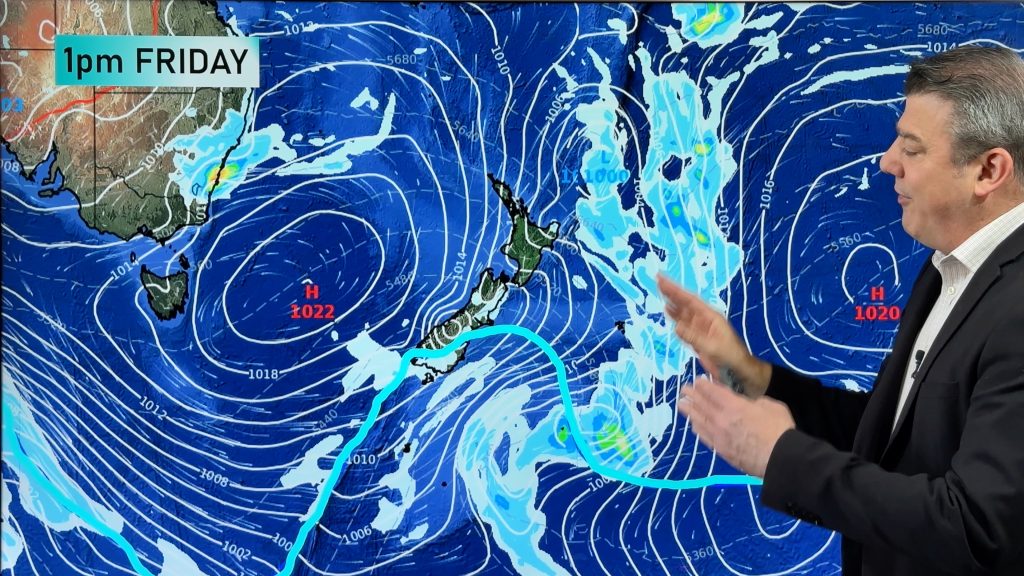
With last week’s cold snap behind us, a sub tropical wind flow is now moving in.
Some showers and rain are in the mix along with that airflow though, and we’re seeing many areas in the west particularly looking very gloomy.
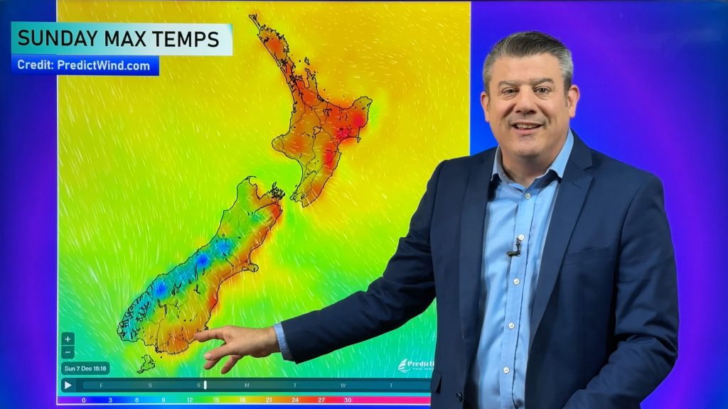
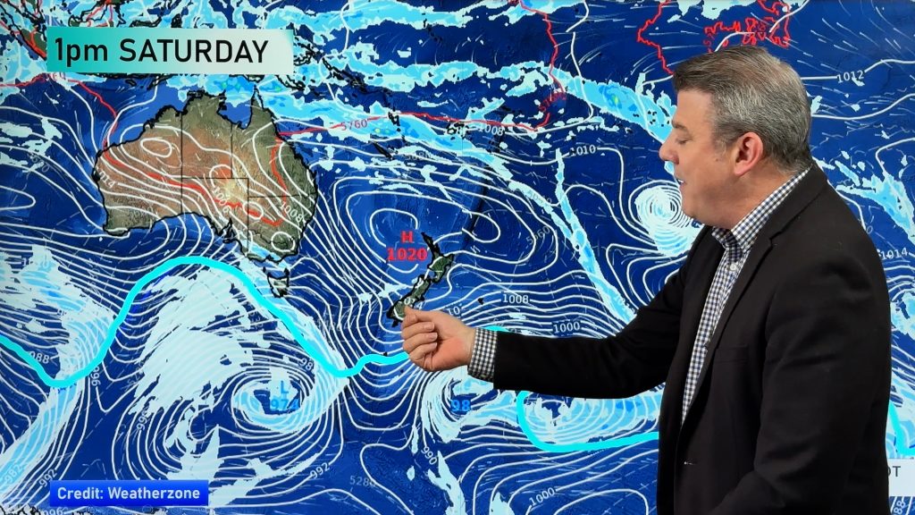
Check out the specifics and the rest of your week’s forecast with Philip Duncan, below.
Comments
Before you add a new comment, take note this story was published on 13 Jul 2015.


Add new comment
Russ Barnes on 14/07/2015 1:01am
Hello, I have a question..
How did such a severe frost happen in Hastings this morning? obviously snow on the ranges, but looking at the weather maps there was a NE flow, no obvious antarctic flow. I realise frosts tend to come on the leading and trailing edges of a ‘High’ but a -6.1 deg is quite major, & being an orchardist I like to try and identify the signs of frost severity.
Regards,
Russ B
Reply
WW Forecast Team on 14/07/2015 3:21am
Hey Russ, great question. Not sure if you saw my videos last week but we spoke about how Hawkes Bay and Gisborne would likely get frosts after everyone else’s frosts had ended…a bit of a delay for you. That’s because HB/Gisborne are further east – where the high was still holding on (so a day or two delay before the cloud/nor’east flow sets in, removing the frost risk). A heavy frost was on the cards for eastern regions of the North Island for Monday and Tuesday due to the nor’easters and clouds not arriving until today/overnight tonight for you. Current set up means you have about a 24 to 48 delay on the weather compared to some other parts of NZ, simply because the highs and fronts at the moment are quite slow moving around us. Hope that makes sense?
Cheers
Philip Duncan
Reply