Friday’s weather headlines (x3): Frosty this morning, Settled weekend, Low next week – Update
7/04/2022 7:00pm
> From the WeatherWatch archives
Here’s what is making the weather headlines today.
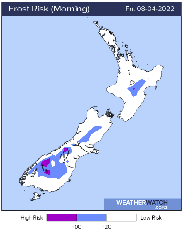
FROSTY THIS MORNING INLAND
If it wasn’t a frost for you in the South Island this morning then it would have at least been fairly cold! Especially east of the Main Divide. Quite a few inland areas for the South Island would have had a frost overnight and henceforth this morning too.
Even the Central Plateau in the North Island would have had a frosty start this morning also.

MAINLY SETTLED WEEKEND ON THE WAY
Thanks to high pressure this weekend is looking mainly settled, the morning’s will be a bit chilly, especially for inland areas but usually that is followed by a sunny day. There will be some cloud about coastal parts on Saturday morning however the afternoon does look brighter. Sunday is nice and sunny for most however there is some cloud along the western coastal fringe from Northland right down to Fiordland.
For more details on your location please visit RuralWeather.co.nz and use the search function.
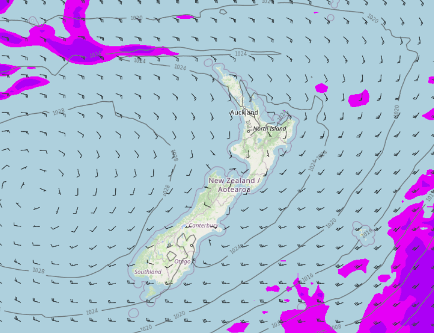
MSLP map Saturday 3pm 
MSLP map Sunday 3pm
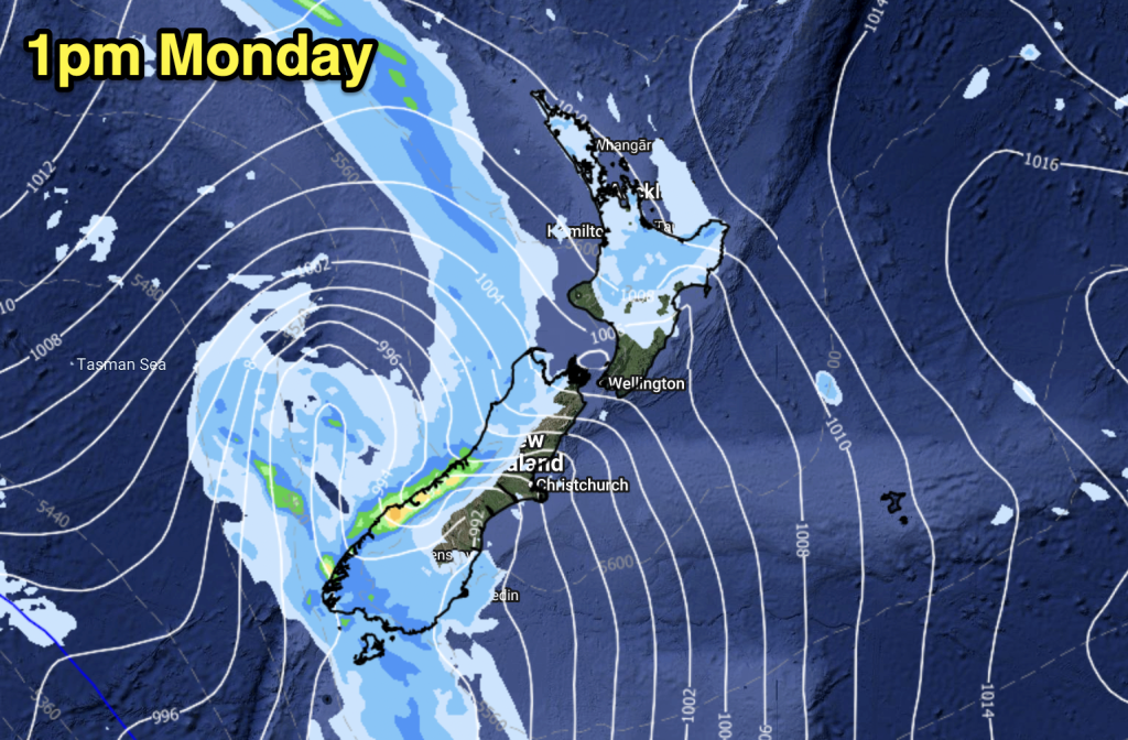
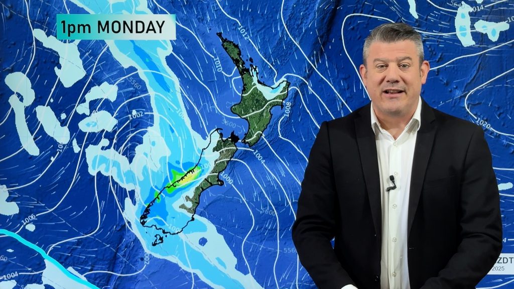
TROPICAL LOW TUESDAY / WEDNESDAY NEXT WEEK
Ex Tropical Cyclone Fili is still looking to affect the North Island around Tuesday and Wednesday next week heading in from the sub-tropics. The latest model run as can be seen in the maps below wants to make the low hit the North Island more directly again bringing with it strong winds and heavy rain.
But this can and will most likely still change a bit as Tuesday is 4 to 5 days away. Just keep this in mind and we’ll have another look at the situation tomorrow morning, and no doubt a video from Phil soon will fill us in more also.
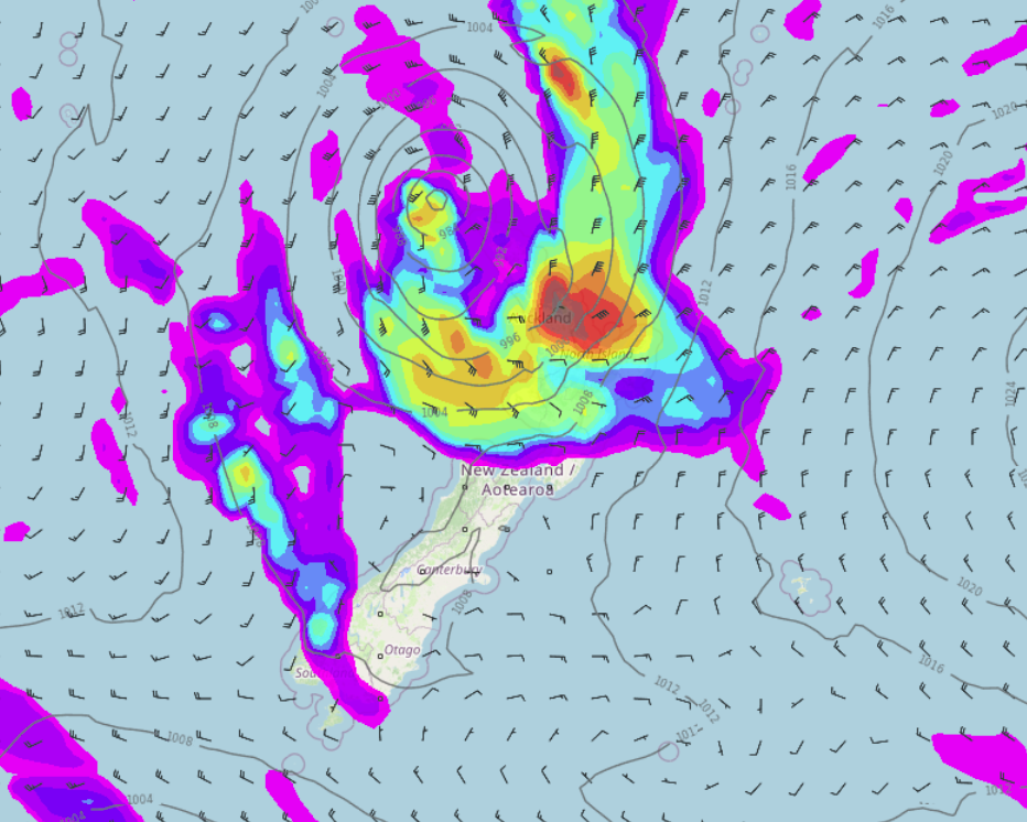
MSLP / Rain map – Tuesday 12th April 3pm 2022 
MSLP / Rain map – Wednesday 13th April 3pm 2022
Comments
Before you add a new comment, take note this story was published on 7 Apr 2022.


Add new comment