Friday’s Newsfeed: Hi, high! Also, Severe Cyclone Jasper reaches Cat 4
7/12/2023 7:38pm

> From the WeatherWatch archives
Updated 8:38am Friday — High pressure is moving in across the country today bringing lighter winds and drier skies to most places.
A few isolated showers are possible today – especially eastern inland North Island near the ranges, where an afternoon thunderstorm (or just some heavy downpours) may form, along with a few showers brushing the lower eastern South Island too.
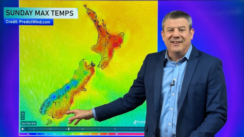
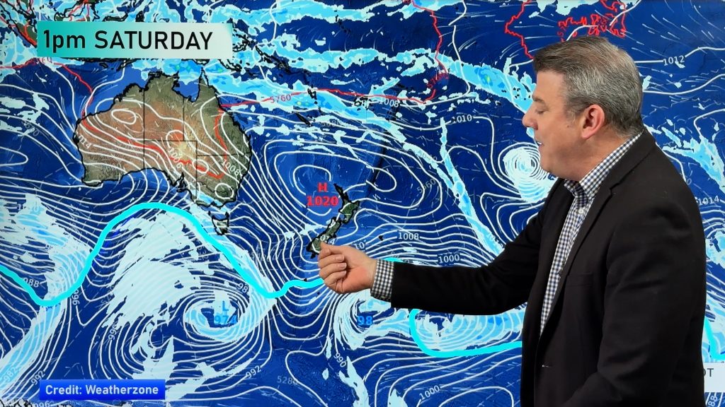
Generally speaking today is settled – but Saturday sees a surge of warmer/hotter nor’westers ahead of a cold front moving up NZ on Sunday. Spring like!
Meanwhile, in the tropics, Severe Tropical Cyclone Jasper has just been upgraded to a Category 4 cyclone. We have a special video about the cyclone out today, and likely again on Sunday too.

Maps most relevant today are…
- MetService Severe Warnings & Watches – ahead of gales and heavy rain
- Live Rain Radar
- Thunderstorm Outlook
- Animated Temperature Maps
See your hourly & 10 day forecast at WeatherWatch.co.nz – or for more details and event planning visit RuralWeather.co.nz for the most detailed and hyper-local forecasts in NZ.
- It’s possible further updates will be added to this Newsfeed today, please check back for updates.
- A detailed weekend weather outlook will be in our next Weather Video – out around noon today.
- We’ll have extra news updates about Severe Cyclone Jasper at WeatherWatch.co.nz this weekend.


Comments
Before you add a new comment, take note this story was published on 7 Dec 2023.


Add new comment