Friday’s national forecast – Wet in the south, dry in the north
3/02/2022 11:50am

> From the WeatherWatch archives
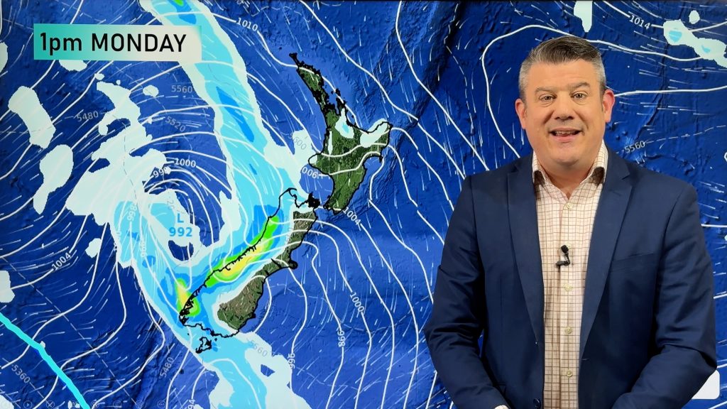
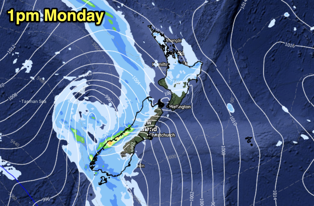
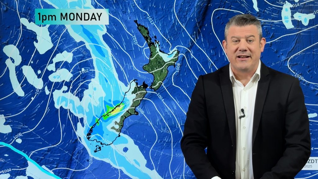
A series of front lies over the South Island today bringing rain with another bout of heavy falls due for the West Coast, the North Island is drier and higher pressure clings on for now.
Northland, Auckland, Waikato & Bay Of Plenty
Morning cloud breaks to mostly sunny weather, a few light showers in the morning from Bay Of Plenty up through to eastern Northland clear. Breezy humid northeasterly winds.
Highs: 25-31
Western North Island (including Central North Island)
Sunny areas and some high cloud, mid level cloud may catch Taranaki and Kapiti at times. North to northwesterly winds.
Highs: 25-30
Eastern North Island
Mostly sunny and hot, perhaps a touch of high cloud. Northerlies tend more northeast in the afternoon.
Highs: 30-31
Wellington
A mix of mid and high level cloud, some rain possible mainly later in the day or overnight. Breezy north to northwesterly winds.
Highs: 23-26
Marlborough & Nelson
Showers for Nelson, a few spits for Marlborough, light winds. Rain moves in this evening becoming heavy for Nelson.
Highs: 21-25
Canterbury
Rain, becoming heavy about inland areas from afternoon. Rain starts to ease overnight. Southeasterly winds.
Highs: 15-20
West Coast
Heavy rain, potentially very heavy into the second half of the day, easing overnight. Northeasterly winds. Rain about Fiordland clears overnight with southeasterlies there.
Highs: 19-22
Southland & Otago
Rain, possibly heavy about western Central Otago from afternoon, rain eases from the south overnight. Southerly quarter winds.
Highs: 13-15

Comments
Before you add a new comment, take note this story was published on 3 Feb 2022.


Add new comment