Friday’s national forecast – Showers, perhaps unstable (+12 maps)
16/12/2021 3:00pm

> From the WeatherWatch archives
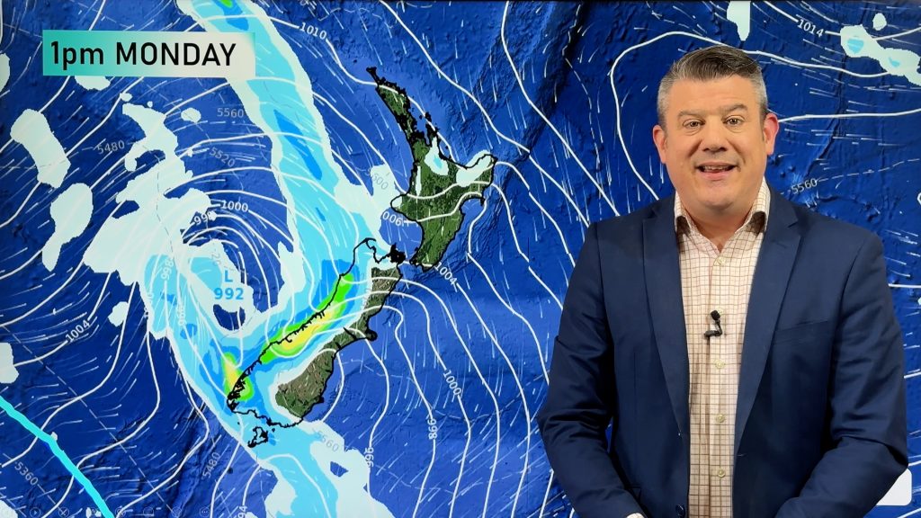
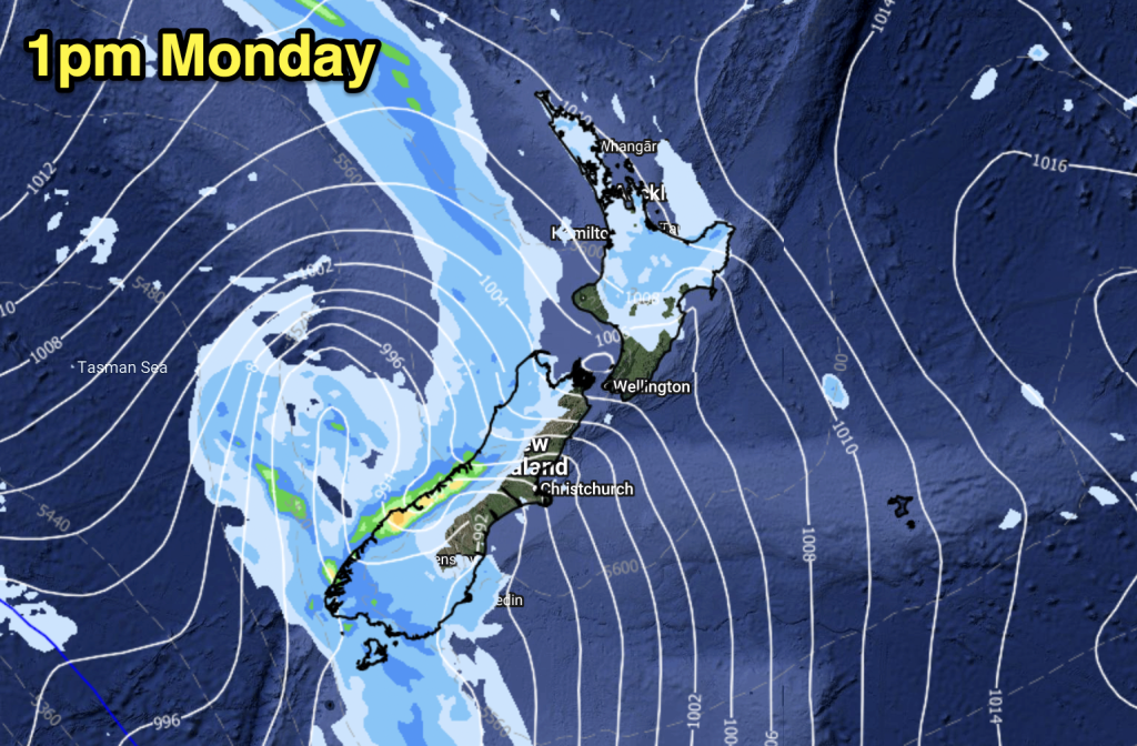
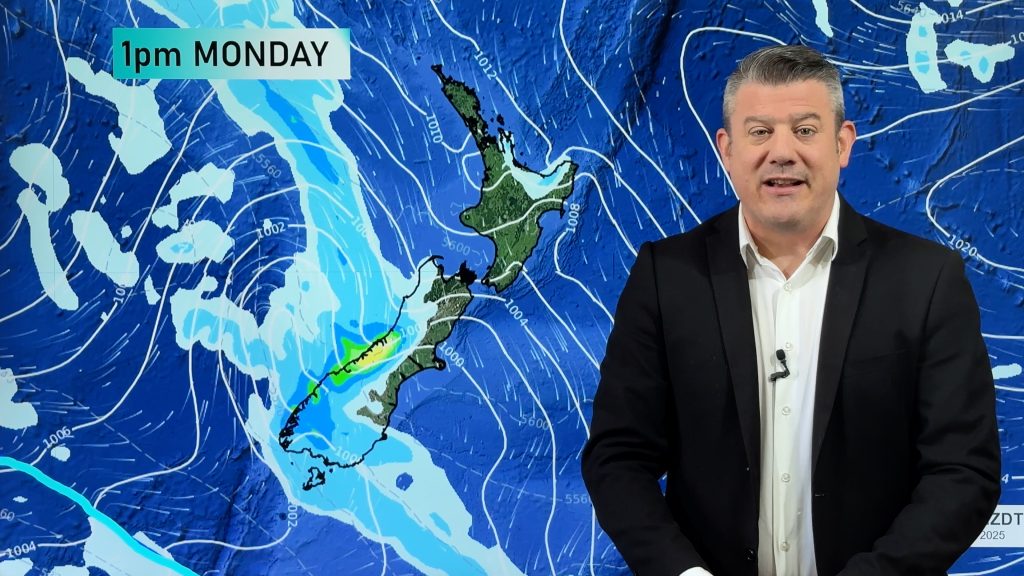
A southwesterly airflow lies over New Zealand today with a series of fronts pushing northwards during the day, showers for most regions although Hawkes Bay and Gisborne is mainly dry. Conditions may become unstable for parts of the South Island this afternoon and early evening.
Please refer to your local, hourly, 10 day forecast for more details.
Northland, Auckland, Waikato & Bay Of Plenty
Occasional showers, dry spells and sunnier weather more likely from afternoon especially in the east. Breezy southwesterlies.
Highs: 21-25
Western North Island (including Central North Island)
Periods of cloud with the odd shower, west to northwesterly winds freshen up towards midday.
Highs: 17-20
Eastern North Island
Mostly sunny for Hawkes Bay and Gisborne, there may be some morning cloud that breaks away. Light winds tend to the east in the afternoon then southwest in the evening. Wairarapa is mainly dry in the morning then afternoon showers push through.
Highs: 22-26
Wellington
Mostly cloudy, risk of a shower, showers pick up in the afternoon as light winds change to the south. Showers clear at night.
Highs: 18-20
Marlborough & Nelson
Dry in the morning then a few afternoon showers mainly for Marlborough, chance of an isolated heavy fall / thunderstorm, clearing evening. Westerly quarter winds, changing southerly in the afternoon for Marlborough.
Highs: 19-23
Canterbury
Showers develop in the morning then clearing later in the evening as southwesterlies die out. A few isolated heavy falls possible for South Canterbury late afternoon / evening with a rumble of thunder and small hail.
Highs: 14-17
West Coast
Morning rain eases to showers, freshening southwesterlies.
Highs: 17-19
Southland & Otago
Early rain for Otago, showers and occasional sunny spells otherwise. Showers about North Otago may become heavy late afternoon / early evening with the chance of some thunder and small hail. Fresh southwesterlies.
Highs: 15-20
WeatherWatch.co.nz is proud to be setting the international standard for forecasting in NZ – powered by IBM


Comments
Before you add a new comment, take note this story was published on 16 Dec 2021.


Add new comment