Friday’s national forecast – Rain West Coast, warm in the east (+10 maps)
2/12/2021 3:00pm

> From the WeatherWatch archives
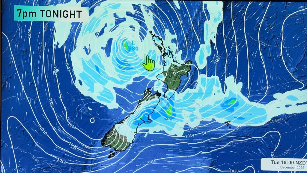
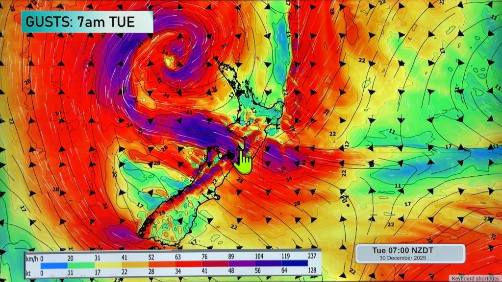
A northerly airflow lies over the South Island today bringing rain in the west with a chance of heavy falls, mainly dry and warm in the east. The North Island sees a few showers too especially this afternoon, mainly dry in the east.
Please refer to your local, hourly, 10 day forecast for more details.
Northland, Auckland, Waikato & Bay Of Plenty
Partly cloudy skies, a few showers about eastern Northland and Coromandel then spreading elsewhere in the afternoon. East to northeasterly winds.
Highs: 23-25
Western North Island (including Central North Island)
The odd shower about Taranaki, spreading elsewhere in the afternoon bringing the chance of a heavy fall and thunderstorm, clearing at night. Light winds tend onshore after midday.
Highs: 20-24
Eastern North Island
A mix of sun and cloud, a shower or two for East Cape and about Wairarapa afternoon / evening. East to northeasterly winds.
Highs: 21-26
Wellington
Mostly cloudy, late afternoon / evening there may be an isolated shower inland. Northerly winds.
Highs: 21-24
Marlborough & Nelson
Mostly cloudy with the odd spit or shower for Marlborough, rain for Nelson, clearing in the evening, North to northwesterly winds.
Highs: 19-24
Canterbury
Mostly cloudy, sun may break through in the afternoon. Rain in the high country close to the Main Divide. Northerlies inland, northeasterlies near the coast.
Highs: 20-25
West Coast
Rain with heavy falls possible, northerly winds.
Highs: 18-19
Southland & Otago
Mostly cloudy, risk of a shower. Showers more likely late afternoon / evening especially inland, showers may become heavy with a risk of thunder. Light winds, northeasterlies for coastal Otago.
Highs: 19-24
WeatherWatch.co.nz is proud to be setting the international standard for forecasting in NZ – powered by IBM


Comments
Before you add a new comment, take note this story was published on 2 Dec 2021.


Add new comment