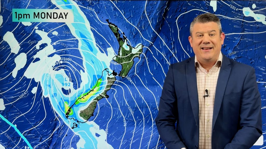
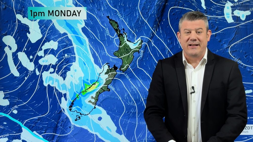
Friday’s national forecast – Heavy rain in the north
23/02/2023 11:22am

> From the WeatherWatch archives
A southeasterly airflow lies over the country today, easing over the South Island as a high starts to move in. The North Island has plenty of rain or shower activity, rain becoming heavy this afternoon for Waikato, eastern Bay Of Plenty, Coromandel and Auckland. Rain also becoming heavy for Hawkes Bay and Gisborne from late afternoon or evening.
Northland, Auckland, Waikato & Bay Of Plenty
Spits or showers, rain may become heavy in the afternoon for Auckland, Waikato and Bay Of Plenty with thunder then easing overnight. Showers clear Northland in the evening. Southeasterly winds.
Highs: 18-22
Western North Island (including Central North Island)
Mostly cloudy with a few spits or showers, Taranaki has some rain. Later in the evening or overnight rain may become more widespread. Southeasterly winds, strong about coastal areas.
Highs: 12-18
Eastern North Island
Rain, heavy falls develop about Hawkes Bay and Gisborne from afternoon. Thunderstorms possible Mahia Peninsula northwards after midday. Southeasterly winds.
Highs: 16-18
Wellington
Morning rain eases to showers, fresh southeasterly winds, strong through Cook Strait.
Highs: 15-17
Marlborough & Nelson
Early rain eases to the odd shower for Marlborough. Nelson has a mix of sun and cloud. Southeasterly winds, strong about the outer Sounds.
Highs: 17-20
Canterbury
Occasional showers, clearing South Canterbury in the afternoon then further north in the evening. Southeasterly winds.
Highs: 15-16
West Coast
Sunny with southeasterly winds.
Highs: 20-22
Southland & Otago
Any morning cloud clears then sunny for Southland and Central Otago. Coastal Otago has the chance of a morning shower then sunny spells break through in the afternoon. East to northeast winds.
Highs: 16-20
Comments
Before you add a new comment, take note this story was published on 23 Feb 2023.


Add new comment