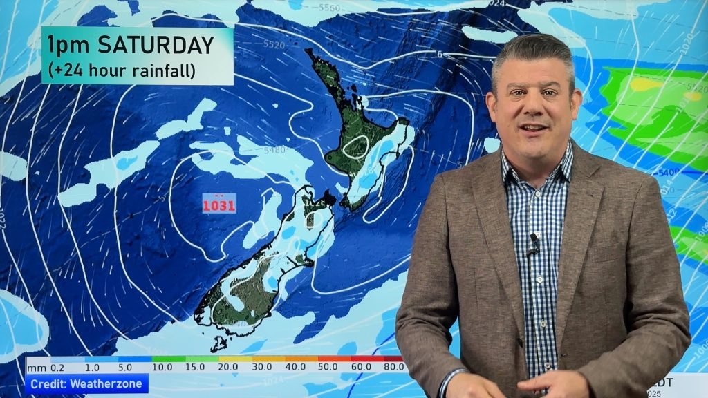
Friday’s national forecast – Heavy rain continues
18/08/2022 12:00pm

> From the WeatherWatch archives
A northeasterly airflow spreads down into the South Island over the course of this afternoon and evening, some heavy rain pushes away from the western North Island, into Nelson / Marlborough this afternoon then down along the West Coast this evening.
Northland, Auckland, Waikato & Bay Of Plenty
Mostly cloudy, occasional showers. Breezy northeasterlies.
Highs: 17-20
Western North Island (including Central North Island)
Rain, heavy falls for Taranaki in the morning then Kapiti from afternoon. Northerlies, strong for coastal Taranaki.
Highs: 16-20
Eastern North Island
Mostly cloudy, a few spots of rain, in the evening it should become dry but a few spots still spreading into Wairarapa. Northerly winds.
Highs: 19-21
Wellington
Rain, possibly heavy in the afternoon and evening. Breezy northerlies.
Highs: 16-19
Marlborough & Nelson
Morning drizzle or showers, rain from afternoon with the chance of heavy falls. Light winds then northerlies strengthen later.
Highs: 15-19
Canterbury
High cloud, rain develops about the high country in the evening, a few spots possible elsewhere. Light northeasterlies.
Highs: 14-17
West Coast
A few morning showers clear, rain pushes into Buller during the afternoon then further south during the evening as northeasterlies freshen. Rain becomes heavy at night.
Highs: 15-17
Southland & Otago
Morning cloud then mostly sunny with developing high cloud, overnight rain. Light winds, northeasterlies for coastal Otago.
Highs: 15-17
Comments
Before you add a new comment, take note this story was published on 18 Aug 2022.


Add new comment