Friday’s national forecast – A few light showers about (+10 maps)
9/12/2021 3:00pm

> From the WeatherWatch archives
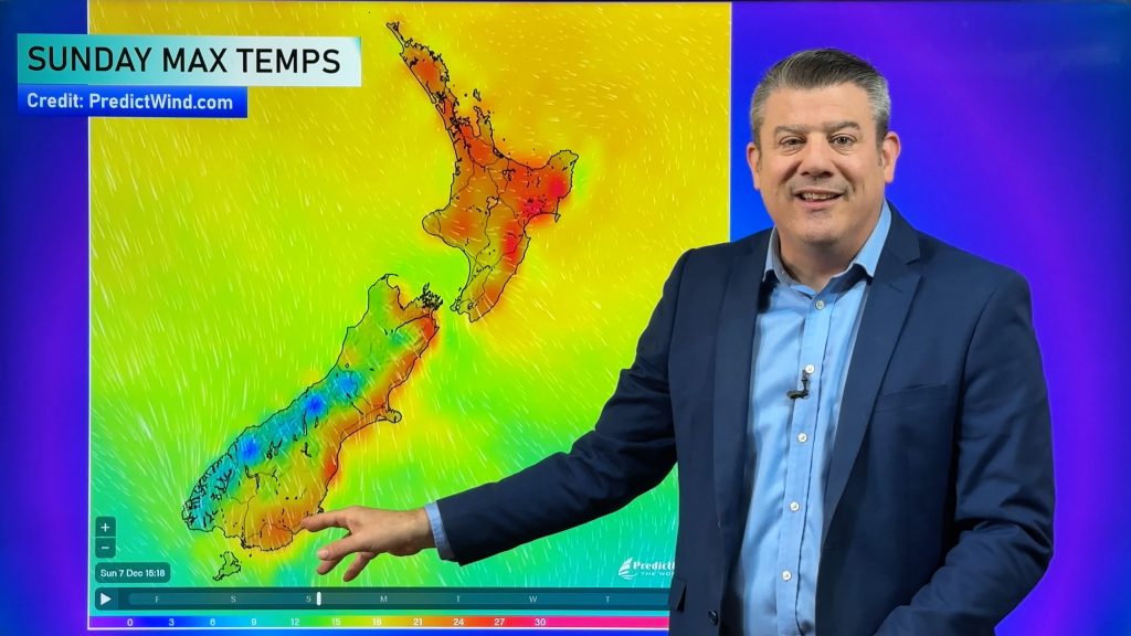
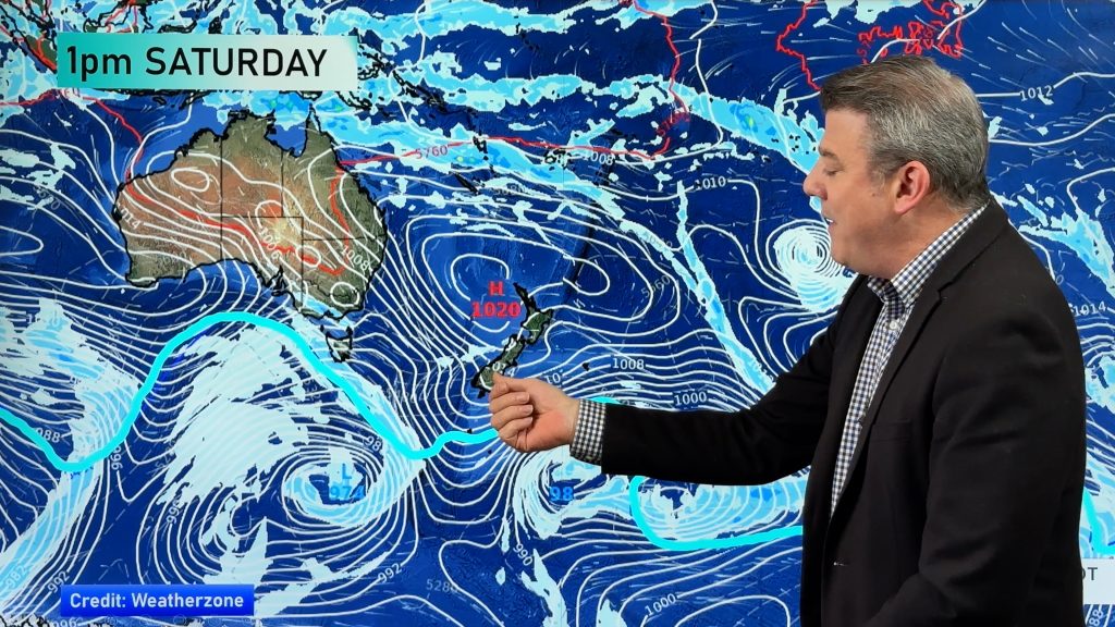
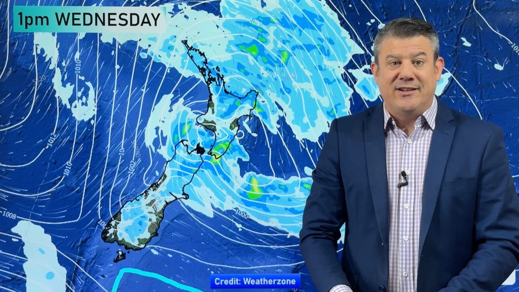
A few weak fronts lie across the South Island today bringing a few light showers, some North Island regions pick up a shower or two also.
Please refer to your local, hourly, 10 day forecast for more details.
Northland, Auckland, Waikato & Bay Of Plenty
A mix of sun and cloud, chance of an isolated shower late afternoon / evening otherwise mainly dry. Light winds then afternoon sea breezes.
Highs: 24-26
Western North Island (including Central North Island)
Areas of cloud and a shower or two, especially for Kapiti. Northwesterlies tend to the west in the afternoon.
Highs: 20-25
Eastern North Island
Partly cloudy, southerlies develop around midday then tending to the east in the afternoon with cloud gradually thickening. Chance of a light shower or two late afternoon or evening.
Highs: 24-27
Wellington
Cloudy, a few light morning showers then drying out in the afternoon, southerlies tend to the north in the afternoon.
Highs: 19-23
Marlborough & Nelson
Mostly cloudy, the odd shower. Easterlies for Marlborough, northerlies for Nelson.
Highs: 19-21
Canterbury
Mostly cloudy, some drizzle possible mainly morning. Sun may break through after midday especially inland. East to northeasterly winds.
Highs: 17-25
West Coast
Sunny areas and some cloud, later in the evening or overnight rain pushes in from the north down to about Greymouth. Light winds.
Highs: 19-24
Southland & Otago
A mix of sun and cloud, coastal Otago has a mostly cloudy day. Light winds tend onshore in the afternoon.
Highs: 17-24
WeatherWatch.co.nz is proud to be setting the international standard for forecasting in NZ – powered by IBM


Comments
Before you add a new comment, take note this story was published on 9 Dec 2021.


Add new comment