Friday Newsfeed: Warmer airflows kicking in for many, cloudy in the west
14/12/2023 9:36pm

> From the WeatherWatch archives
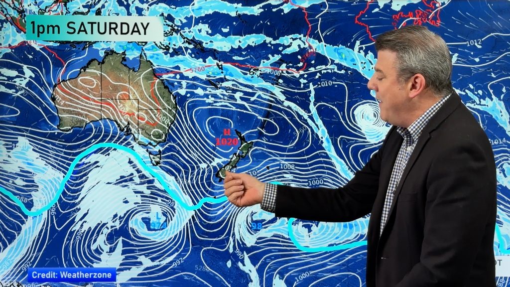
It’s been a spring-like week of weather but more summer-like temperatures are coming in thanks to both Australian and sub-tropical airflows.
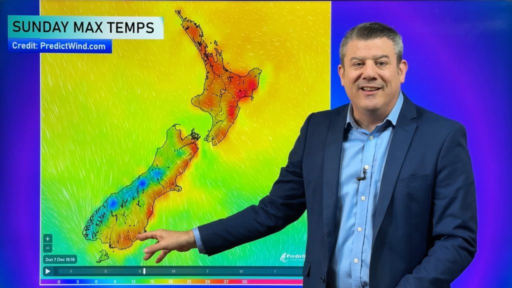
The South Island and lower North Island (mostly Wellington, southern Wairarapa) are still changeable – and windy at times too. In fact Wellington will be windy for Friday, Saturday and Sunday. But this westerly wind will boost temperatures in the east with places like Hawke’s Bay heading into the mid to late 20s this weekend. Winds are lighter the further north you are, nearer to high pressure.
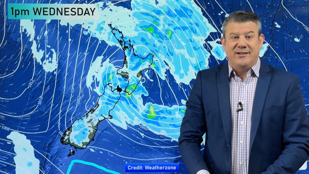
A little bit of wet weather around the South Island – but nothing too significant today but sets in more this weekend with heavy rain.
The lower South Island won’t be as warm as the north, due to more airflows coming from the Southern Ocean and less likely out of the sub-tropics.
Western NZ will also be cloudier – as it’s been for much of the week. This is often the case with El Nino westerly flows.
Maps most relevant today are…
- Live Rain Radar
- Animated Temperature Maps
- RuralWeather Wind & Upcoming Rainfall Graphs
- Any potential MetService Warnings or Watches
See your local hourly & 10 day forecast at WeatherWatch.co.nz – or for more details and event planning visit RuralWeather.co.nz for the most detailed and hyper-local forecasts in NZ.
- It’s possible further updates will be added to this Newsfeed today, please check back for updates.
- Programming Note: We have NO VIDEO today Friday. Back again Monday!
- VIDEOS OVER SUMMER: We will have reduced video coverage over the coming month ahead. We’re a small company and need time out too! We’ll still have daily news and maps here, but our YouTube channel will have much fewer updates for 4 weeks starting from after Christmas. We’ll still cover anything major (Like a cyclone).


Comments
Before you add a new comment, take note this story was published on 14 Dec 2023.


Add new comment