Friday Newsfeed: Hot NI, unstable showers inner SI (+10 Maps)
21/12/2023 11:19pm

> From the WeatherWatch archives
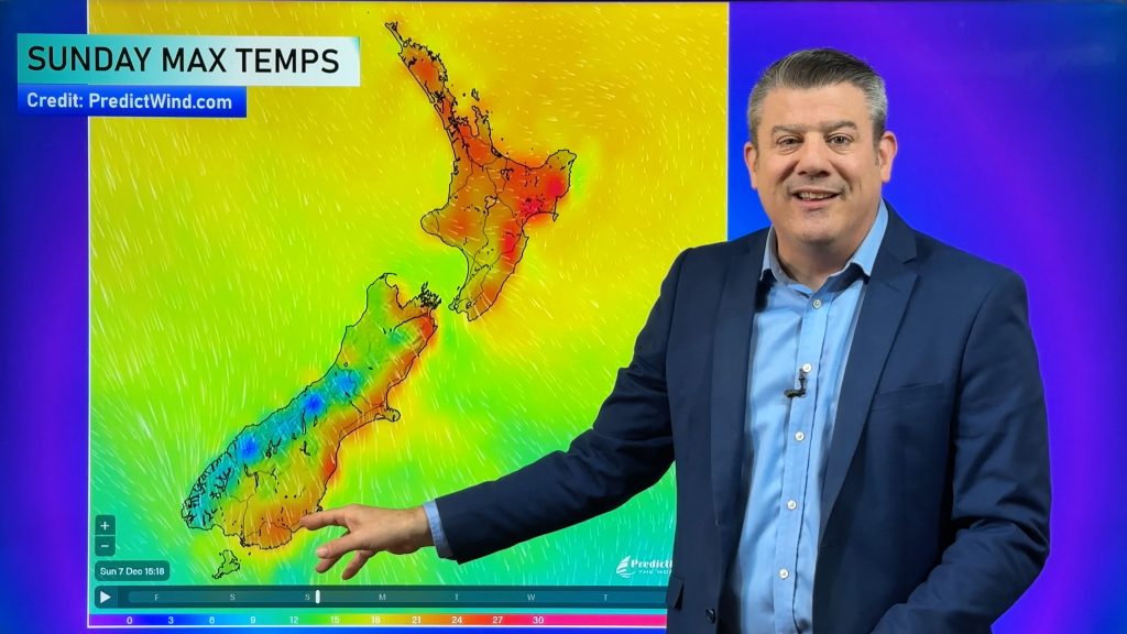
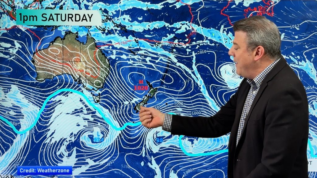
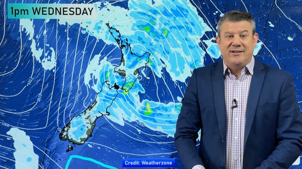
Updated 12:46pm — High pressure brings settled weather and hot temperatures to the North Island again today, highs will likely be in the mid to late twenties for many with the highest temperatures likely for Waikato. The South Island sees some weak low pressure form this afternoon thanks to day time heating and this leads to a few isolated showers, mainly for inland areas but elsewhere could see one or two. Central Otago could get heavy showers with a chance of thunder towards or during this evening. The West Coast and Southland will have a few showers from this morning although Southland’s showers could clear up near the coast this afternoon.
There will be quite a bit of high cloud across the country and some regions may experience areas of low cloud or fog morning and night. Coastal parts of the South Island and Northland may experience cloud all day.
Winds will mostly be light tending onshore this afternoon (a sea breeze in other words) but coastal Otago up through to coastal Canterbury will have fresh east to northeasterly breezes after midday.
Maps most relevant today are…
- Live Rain Radar
- Animated Temperature Maps
- Animated Wind maps
- Thunderstorm page
- RuralWeather: Localised Cloud, UV & Temperature Data & Graphs
See your local hourly & 10 day forecast at WeatherWatch.co.nz – or for more details and event planning visit RuralWeather.co.nz for the most detailed and hyper-local forecasts in NZ.
It’s possible further updates will be added to this Newsfeed today, please check back for updates.


WeatherWatch.co.nz – Daily Newsfeed
Comments
Before you add a new comment, take note this story was published on 21 Dec 2023.


Add new comment