Friday Newsfeed: Front clears out to the east
11/01/2024 4:00pm

> From the WeatherWatch archives
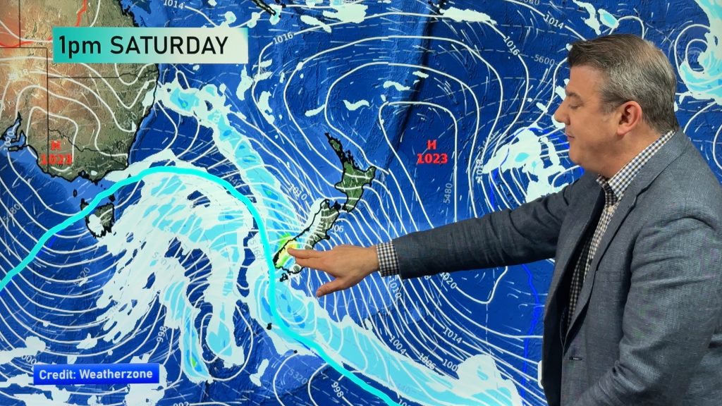
A weak front moved over the South Island last night and passes out to the east of the country today followed by an anticyclone in behind. The weather for the most part is mainly settled, showers for the West Coast clear this morning then sun breaks through.
The North Island has a good day, a few clouds perhaps in the west, temperatures will be in the mid to late twenties for many but could even crack 30 for Waikato through to inland Bay Of Plenty.
Some cloud will stick to coastal Otago then later on spreads north into Canterbury, east to northeasterly winds will freshen in the east this afternoon north of Otago Peninsula through to North Canterbury. Temperatures are warm for the interior of the South Island reaching into the late twenties.
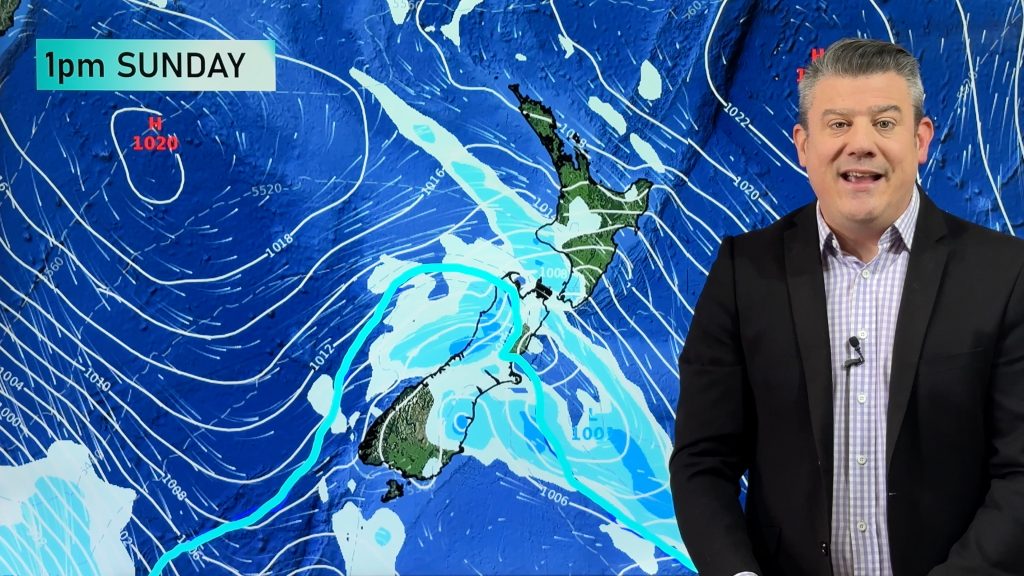
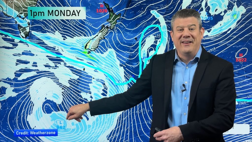
Very hot temperatures return in the east this weekend, finally on Monday relief is on the way.
Maps most relevant today are…
- Live Rain Radar
- Animated Temperature Maps
- RuralWeather: Localised Cloud, UV & Temperature Data & Graphs
See your local hourly & 10 day forecast at WeatherWatch.co.nz – or for more details and event planning visit RuralWeather.co.nz for the most detailed and hyper-local forecasts in NZ.


WeatherWatch.co.nz – Daily Newsfeed
Comments
Before you add a new comment, take note this story was published on 11 Jan 2024.


Add new comment