Fire risks rise as NZ continues to dry out – isolated downpours bring only real relief
7/02/2025 1:55am

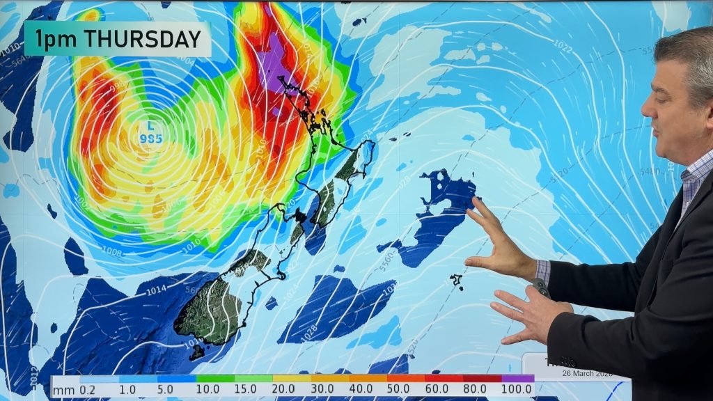
> From the WeatherWatch archives
We’re certainly in peak summer mode across New Zealand with hotter weather for most – and mainly dry skies for the next 7 days ahead – generally speaking.
High pressure zones are keeping tropical rainmakers away from the north, and the more southern placement of the centre of these highs is limiting wet weather coming in from south of the country – and from over the Tasman Sea towards us.
Put short, if you live in a dry area then chances are it will be even drier by the end of next week.
The lack of rain is boosting the fire risks around the country as grass, scrub and bush dries out and continues to go brown.
Cold fronts south of NZ are still brushing the South Island weekly, but are failing to really deliver much rain – but they are providing big temperature fluctuations. A good example is Gore in Southland, aiming for 26 or 27 degrees on Saturday, but that high is cut right back to only 14 degrees on Monday. Many in the south and east of the South Island will feel the cooler change early next week – but it does little to bring in big rain. In fact Fiordland – one of the wettest places on earth – is now one of the driest in the country from a soil moisture anomaly point of view.
But rain is possible for some – with heavy thunderstoms and downpours developing inland, and sometimes these isolated but intense showers can produce a month’s worth of rain in an afternoon or evening…but if you’re not under that cloud you may not get anything, or very little.
In a nutshell, most dry places will get drier still in the next 7 days ahead.
- WeatherWatch.co.nz

Comments
Before you add a new comment, take note this story was published on 7 Feb 2025.
Latest Video

Update on severe weather around NZ as storm moves in + outlook for next week
Heavy rain and damaging wind gusts are forecast today, tonight and into Friday across parts of New Zealand as a…
Related Articles
Update on severe weather around NZ as storm moves in + outlook for next week
Heavy rain and damaging wind gusts are forecast today, tonight and into Friday across parts of New Zealand as a…

Subtropical storm moving in, gales and some heavy rain, especially Thu/Fri
Heavy rain and gale winds will slowly move down the country over the next 24 to 36 hours a subtropical…
Tropical storm to bring severe weather to NZ, gales & heavy rain
A tropical cyclone is today leaving the tropics and will grow into a larger storm system for a time in…


Add new comment