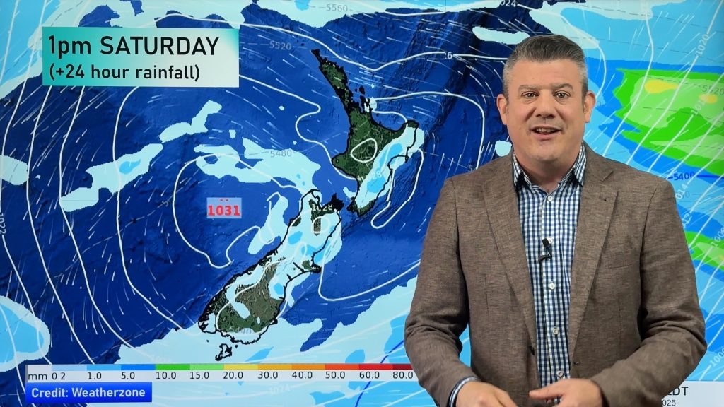
> From the WeatherWatch archives
When talking about the weather you won’t find WeatherWatch.co.nz using the word “enormous” very often, but the storm forming in the Southern Ocean this weekend and Monday fits the description.
Now that we’re into March and the Autumn weather pattern is in swing it’s normal to see a real mixture of highs crossing the country and big lows in the Southern Ocean. it’s also normal to be seeing a spike in tropical storms as March is the peak of the cyclone season.
This weekend a storm in the Southern Ocean will develop and rapidly deepen, potentially bottoming out at 935hPa. Air pressure is one of the tools we use to measure a storm and to give a comparison Cyclone Hola recently reached Category 4 status (out of a maximum of 5) and only reached he 950hPa range. Average air pressure is 1013hPa.
The good news is that the storm won’t be heading towards New Zealand. The centre will be closely spinning around the outer edges of Antarctica but it will spread across the entire Southern Ocean and clip the South Island with strong winds in the mountains and southern areas plus heavy rain on Monday. It’s too early to know if it will prompt severe weather warnings in New Zealand.
WeatherWatch.co.nz says if the modelling is correct then the storm will span a distance of almost 4000km north to south, most likely making it the largest single low pressure system on the planet. However a cluster of lows linked across Russia and parts of Europe looks even larger and may cover a distance of at least 6000km west to east on Monday as well.
March can be quite a turbulent time across the planet as we reach the half way mark (which technically occurs later next week) between the longest day of the year and the shortest.


– WeatherWatch.co.nz
Comments
Before you add a new comment, take note this story was published on 15 Mar 2018.


Add new comment