> From the WeatherWatch archives
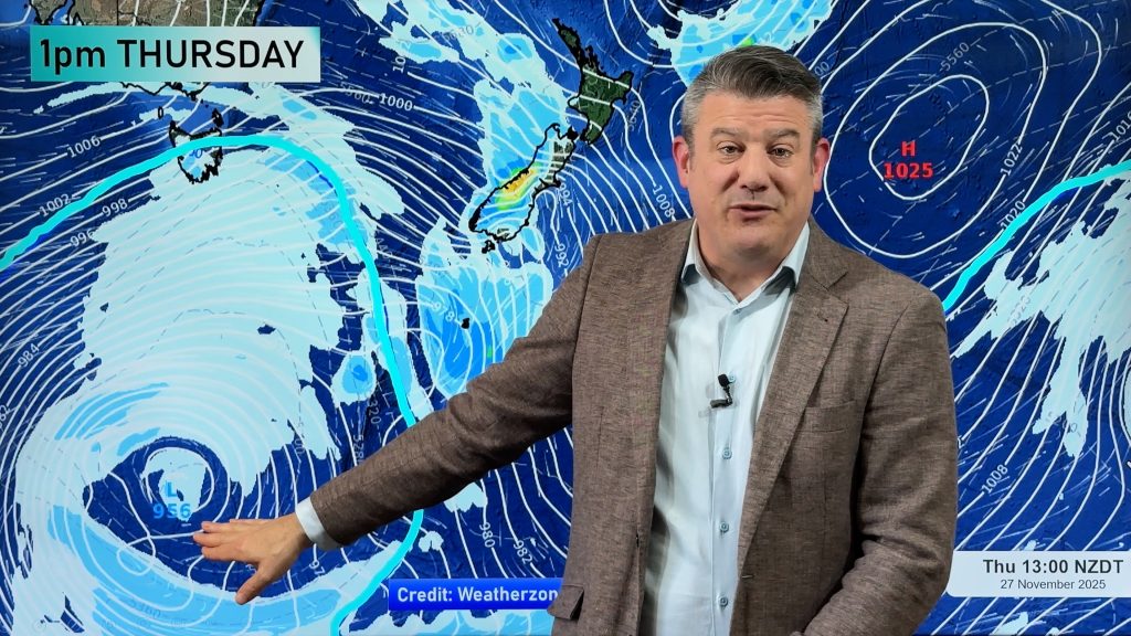
On Sunday a large high rolls in and the week of windy, sometimes wet, weather comes to an end. The high will then set in for an entire week affecting mostly the North Island.
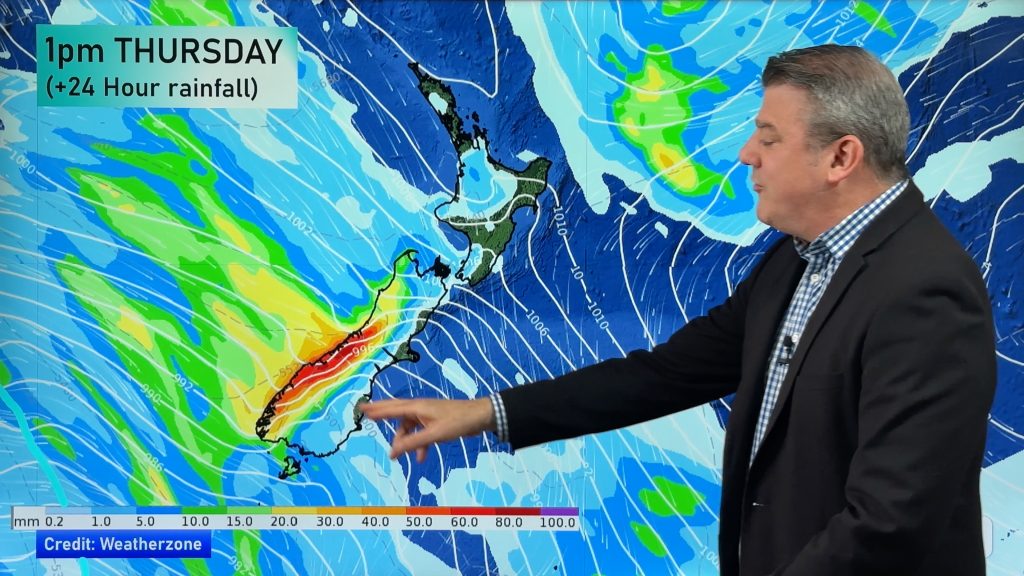
On Tuesday the humid and warm north to north west flow spreads down across some regions – this will likely see rain or showers return to the West Coast.
WeatherWatch.co.nz is predicting rain or showers on the West Coast from Tuesday to Friday.
All – or most – other parts of New Zealand look dry and quite sunny from Sunday through to next weekend – with hotter weather returning to eastern, northern and inland areas during this coming week.
Being mostly two large islands in the South Pacific means even when we have a big high in charge isolated showers are possible – and WeatherWatch.co.nz will track any if it challenges the forecast above, but latest data supports an upcoming dry period of weather for many areas.

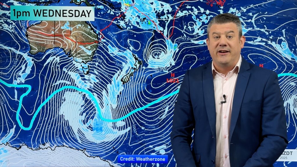
– Image / via Weathermap showing the rain and air pressure map for lunchtime this coming Wednesday.
– WeatherWatch.co.nz
Comments
Before you add a new comment, take note this story was published on 27 Nov 2015.


Add new comment