> From the WeatherWatch archives
Mostly dry weather is dominating New Zealand this morning.
Apart from some heavy showers around the Taranaki, Wanganui and Manawatu regions and some showers about Southland and Otago most other centres are dry.
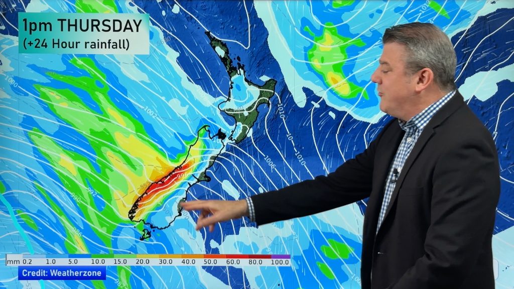
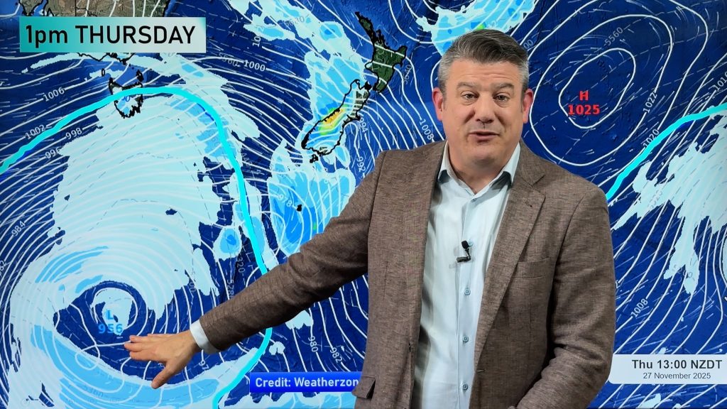
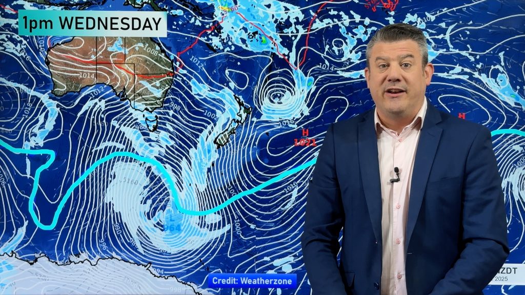
The dry spell is simply a ‘breather’ between fronts. The low, that fills much of the Tasman Sea, has had up to a dozen fronts very slowly circling around it. It’s making it difficult to accurately pinpoint the timing of rain bands.
Our current predictions show another front moving into western parts of the North Island tonight – most likely affecting Taranaki and Northland with showers possible in between. Rain is also likely to move back in to the Nelson region.
A few thunderstorms have been detected around Taranaki today with a few thousand detected out to sea.
While it’s dry in Auckland low cloud is covering a number of high rise buildings in the city centre.
What’s it like where you are? Post a comment below and let us know what conditions are like outside your window!
Comments
Before you add a new comment, take note this story was published on 10 Jun 2009.


Add new comment
Guest on 11/06/2009 1:08am
Northeast here in chch However the the famous nor’west arch is approaching.
Reply
Daniel E on 11/06/2009 12:01am
Hi Philip,
Been a while since I’ve posted on here and liking the new site. Just wondering if there is a chance Auckland could see any thunderstorms tonight/tomorrow? Don’t see anything on your forecast but I know you do update that somewhat frequently.
Thanks
Daniel
Reply
WW Forecast Team on 11/06/2009 3:17am
Hi Daniel, good to have you posting again!
I think there’s the chance of a rumble or two…but at this stage only a low chance for the next 24 hours…slightly higher chance over the Waitakere Ranges/Manukau Heads (closer to the Tasman). Might be a slightly higher risk on Saturday with some heavy showers. This low is hard to predict…we’ve been trying to keep our forecasts as consistent as possible despite our computer models & data going all over the place!
Cheers
Phil
Reply