Dry 14 days ahead for many + Rain Accumulation Maps for rest of January & 14 days
22/01/2020 7:51pm

> From the WeatherWatch archives
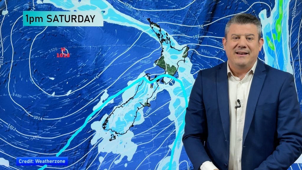
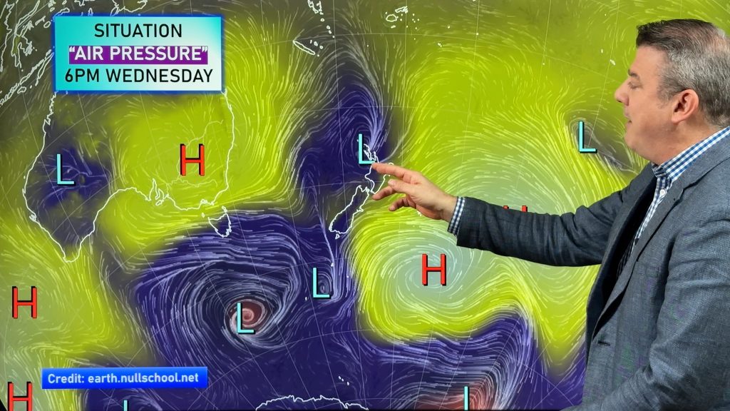
High pressure has finally locked itself over New Zealand and apart from a few weak rainmakers brushing Fiordland and spreading a little further up the West Coast or over into Southland the rest of the country is definitely leaning much drier than normal.
The dry, hot, end to January for most regions will be very welcome for those taking the summer break after the peak of summer holiday traffic has eased. It’s not only dry but a number of places are warmer than normal too.
For farmers, growers and those reliant on rain water this puts more pressure on you. We’re trying to find the next chance for rain but right now there isn’t anything solid we can point to. However it’s important to remain optimistic.
We do see some rain activity around NZ and with our nation being so small in comparison to the air pressure zones around us we can keep fingers/toes crossed that some relief will arrive within the next few weeks.
While January looks mostly dry, early February may see showers in the South Island and increased tropical activity north of NZ. No rain is locked in, but these offshore and nearby rainmakers only have to brush us and we get some relief.
So yes, if you need rain the next couple of weeks may be more stressful – but there is some optimism at least February might bring some isolated areas of relief. We’ll continue to keep you posted. We have also informed the Ministry for Primary Industries that we believe drought conditions are now developing across Northland, Auckland and some parts of North Waikato. Parts of Canterbury is also showing signs of being especially dry.
FORECAST RAINFALL FOR REST OF JANUARY:
FORECAST RAINFALL NEXT 14 DAYS:
– WeatherWatch.co.nz
Comments
Before you add a new comment, take note this story was published on 22 Jan 2020.


Add new comment