Cyclone Iris forms near Vanuatu, may not move far in a week (+3 Maps)
23/03/2018 11:30pm

> From the WeatherWatch archives
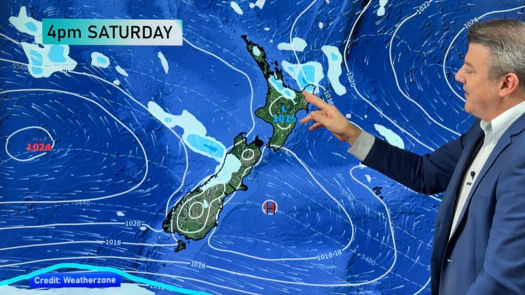
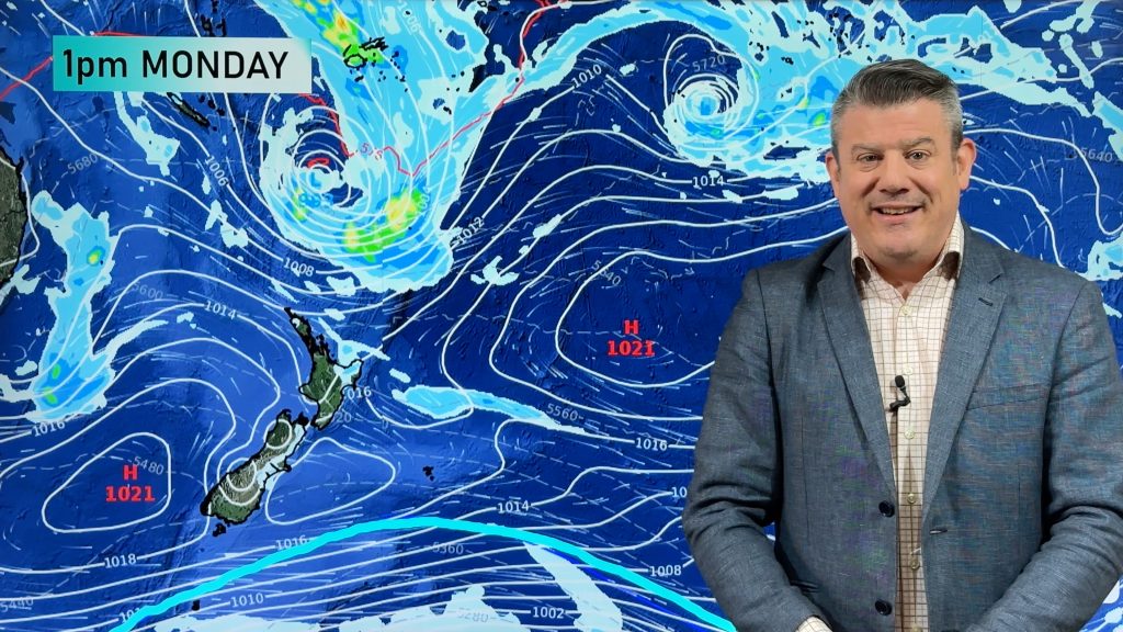
Tropical Cyclone Iris has today formed just west of Vanuatu and while not a major storm the tropical low pressure system may linger in the Vanuatu / New Caledonia area for a full week, potentially longer.
Long range computer models do not show a direct threat to New Zealand at this stage but with the low pressure system potentially stuck in the same area for a week it may be one to keep an eye on as the remnants will likely drop south at some point. Whether it affects New Zealand or not is still unknown.
The Fiji Met Service says the storm will likely reach Category 2 on Sunday near north western New Caledonia.
Both European and US computer modelling show the same area of low pressure still sitting near New Caledonia next Saturday during Easter Weekend. It’s unclear how many days the tropical low will remain a tropical cyclone, it may weaken after it drifts into the New Caledonia area.
As of noon Saturday Tropical Cyclone Iris was Category 1.


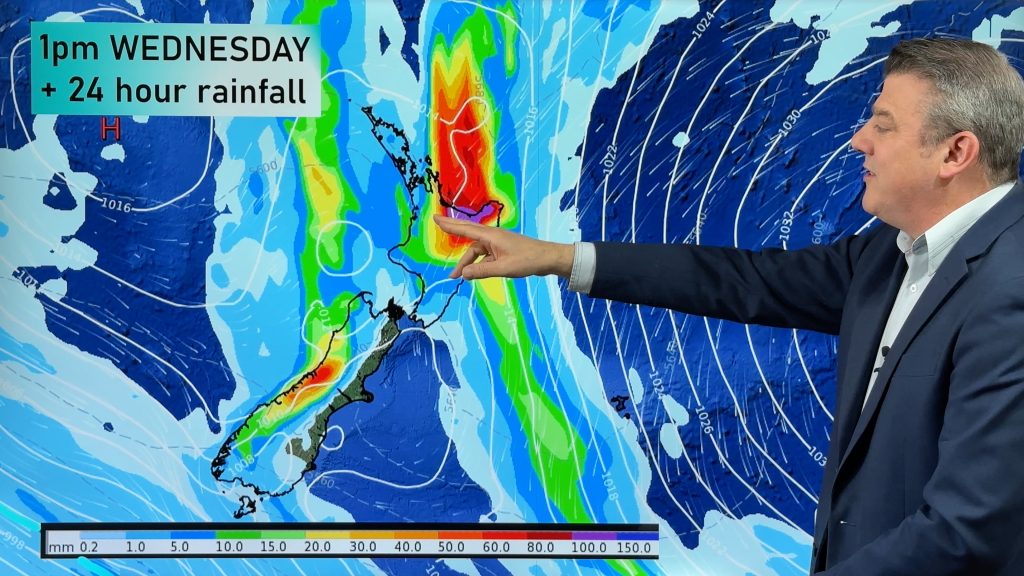
 – One week from now, Saturday March 31st, shows a low near New Caledonia. it’s unclear if it will still be a tropical cyclone/storm by then or just a tropical low / GFS
– Tracking maps by Fiji Met
– WeatherWatch.co.nz
Comments
Before you add a new comment, take note this story was published on 23 Mar 2018.


Add new comment