> From the WeatherWatch archives
The weather looks to be playing ball as forecast as we approach midday across New Zealand.
A west to southwesterly airflow lies across the North Island, while most in the west have had a sunny morning cloud will develop this afternoon bringing the chance of a light shower or two. Conditions have been sunny further east although there has been some morning cloud break away from Gisborne.
The warmest temperature right now is Whangarei on around 15 to 16 degrees celsius.
The South Island sees a west to northwesterly airflow increase ahead of a front which will move onto the lower South Island later this afternoon. Winds are generally light for most regions however Southland is seeing increasing northwesterlies, Gore and Invercargill are experiencing northwesterlies ranging from 20 to 30 km/h currently. Winds will likely be gusting more through Foveaux strait.
The east coast is seeing areas of sun and high cloud while the West Coast has cloudy areas and occasional sun about North Westland, thicker cloud further south with patches showers likely about South Westland.
The warmest temperatures in the South Island are about Southland, Invercargill is currently on 14 degrees celsius.

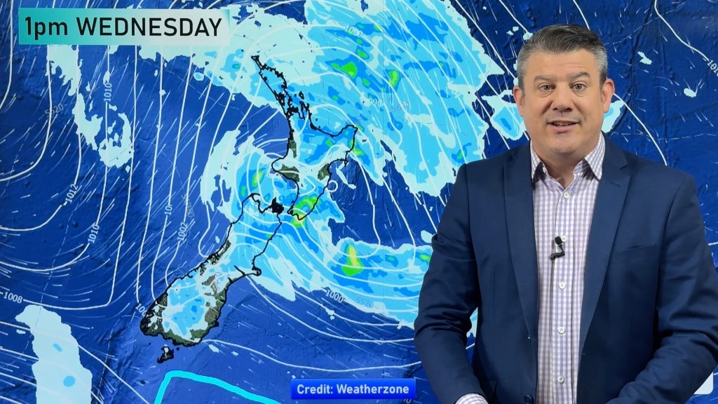
Image: MSLP / rain map for New Zealand at midday on Thursday 15th June 2017
WeatherWatch.co.nz
Comments
Before you add a new comment, take note this story was published on 15 Jun 2017.


Add new comment