Cold & windy weather to ease as high pressure slowly builds (+4 Maps)
20/04/2018 12:28am

> From the WeatherWatch archives
We’re transitioning away from the windy, wetter, west to south west winds and in to a more settled high pressure pattern – but it’s not clear cut for all regions.
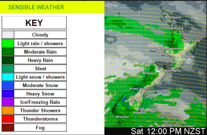
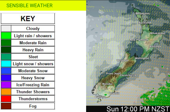
As you can see from the InfoGraphics below the high that is drifting in from the Tasman Sea iater this weekend s also bringing in a blanket of cloud. So western areas that have rain or showers around for the next day or so may find the winds simply eases back but the clouds don’t entirely clear.
A strong high pressure system in the northern Tasman Sea will press up against a storm in the South Ocean over the next 36 hours and this will create strong to gale force winds in some coastal areas and mountains. Combined with snow and freezing rain conditions in the South Island it will not be ideal for trampers, campers and perhaps even some alpine motorists – but conditions improve on Sunday.
Sunniest weather will be inland and in the east of both islands from Sunday.


– Rainfall Accumulation from Noon Friday to Noon Sunday
– WeatherWatch.co.nz (An official business partner of IBM and The Weather Company)
Comments
Before you add a new comment, take note this story was published on 20 Apr 2018.


Add new comment
Guest on 20/04/2018 5:39am
Is that going to be real freezing rain, freezing on surfaces? Or just cold rain?
Reply