> From the WeatherWatch archives
A brief cold snap is this morning racing up the South Island’s east coast and is expected to bring snow to relatively low levels.
The front isn’t expected to bring heavy snow however temperatures will be bitterly cold behind it. By noon it should be arriving at Cook Strait.
Meanwhile the North Island will have a mixed bag of weather today with showers and fine breaks. Temperatures in the north should be relatively pleasant as a gentle nor’wester blows. Eastern areas from Gisborne to Napier are expected to reach the mid teens this week with overnight lows in the late single digits.
No heavy rain is in the forecast for the next day or so however heavy showers are a possibility in Northland on Thursday or Friday which may cause some concern in isolated pockets after the recent flooding – we’ll have more details tomorrow.
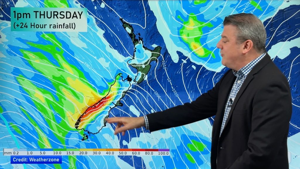
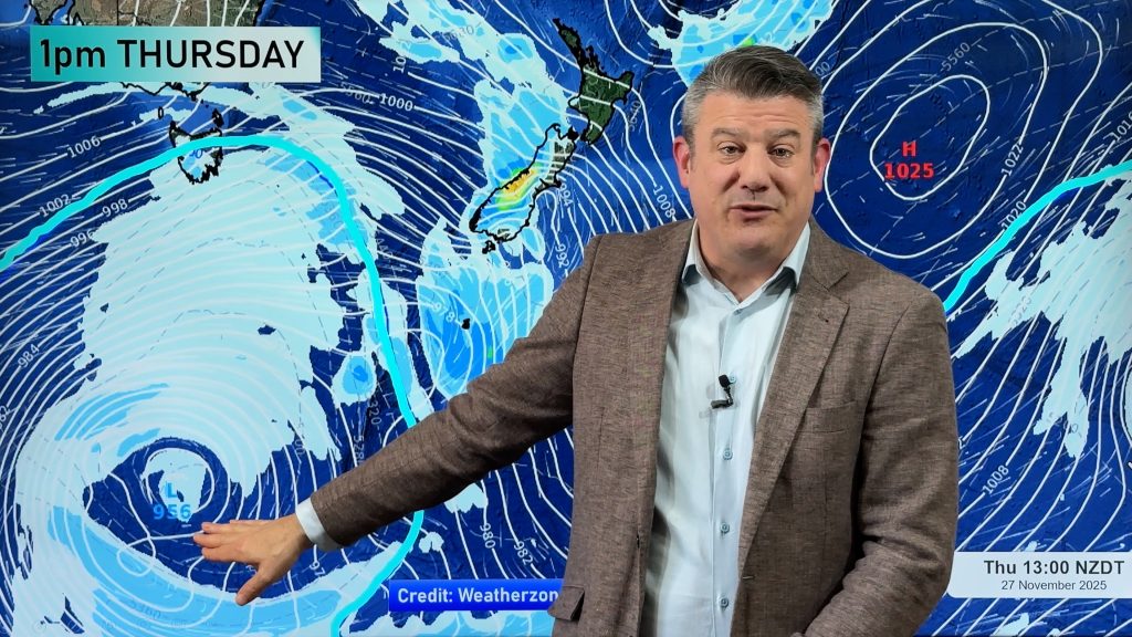
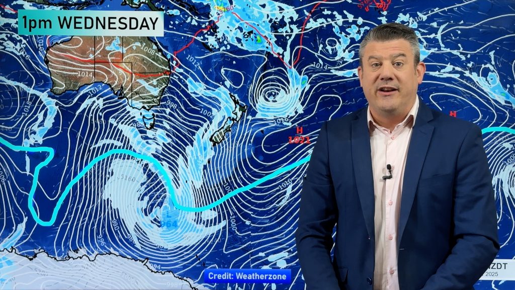
The northerlies are expected to lift temperatures in to the late teens for some parts of Northland as a large low pressure system in the Tasman Sea slowly advances towards New Zealand.
While large it isn’t aggressive so should slowly cross New Zealand on Friday, deepening once moving out in to the Pacific Ocean on Saturday. A strong south west flow will develop behind it on Saturday bringing another cold snap to Southland and Otago.
But a large high should move in behind the low from the Tasman Sea possibly bringing a settled Sunday to Northland and possibly Auckland.
Comments
Before you add a new comment, take note this story was published on 14 Jul 2009.


Add new comment